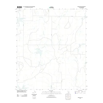
2013 Map of Doole SW
USGS Topo · Published 2013About this map
Mustang Creek and its multiple branches shape the drainage of this portion of Concho County. Significant water management features, including the Soil Conservation Service Site 1 Reservoir, Soil Conservation Service Site 3 Reservoir, and Soil Conservation Service Site 38 Reservoir, dominate the local landscape, reflecting the region's agricultural infrastructure and flood control priorities. The terrain is defined by the winding paths of the Middle Fork Mustang Cr, E Fork Mustang Cr, and the eastern drainage of Waloope Cr. A network of county roads, such as Co RD-4249 and Co RD-4369, provides the primary access through this rural ranching country, connecting the various forks and branches like Salt Br that feed into the larger Mustang Creek system.
Find a feature on this map
14 named features on this map. Tap any name to fly to it.
Don’t see what you’re looking for? This feature index may not catch every label — zoom into the map to look around manually.
Map Details
Editions of this 2013 Doole SW Map
This is the sole edition of this map. No revisions or reprints were ever made.
Other maps of this area
1892 · Eden
USGS Topo · 1:125,000
1896 · Eden
USGS Topo · 1:125,000
1924 · Eden 1-a
USGS Topo · 1:48,000
1931 · Stacy
USGS Topo · 1:62,500
1954 · Brownwood
USGS Topo · 1:250,000
1960 · Melvin
USGS Topo · 1:24,000
1967 · Millersview SE
USGS Topo · 1:24,000
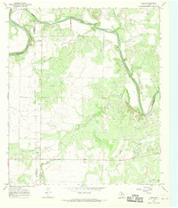
1967 · Doole
USGS Topo · 1:24,000
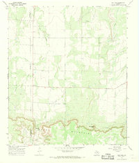
1967 · Salt Gap
USGS Topo · 1:24,000
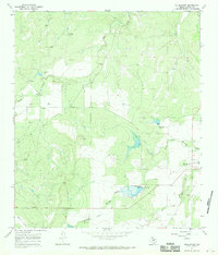
1967 · Millersview
USGS Topo · 1:24,000