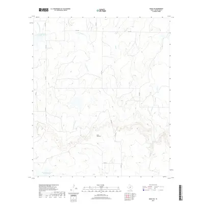
2019 Map of Doole SW
USGS Topo · Published 2019About this map
The Brady Mountains form the prominent topographic backdrop of this section of Concho County, where the high ridges give way to a network of drainage basins. This area is defined by its water management infrastructure, most notably the Soil Conservation Service Site 3 Reservoir in the north and the Soil Conservation Service Site 38 Reservoir in the south, which anchor the local hydrology. The landscape is carved by seasonal watercourses including the Middle Fork Mustang Cr and E Fork Mustang Cr, along with Salt Br and Waloope Cr. This map illustrates the transition from high-elevation plateaus to the flatter agricultural and grazing lands below, connected by a network of rural routes such as Co RD 4368 and Bison Rd that navigate the varied terrain of the central Texas plains.
Find a feature on this map
16 named features on this map. Tap any name to fly to it.
Don’t see what you’re looking for? This feature index may not catch every label — zoom into the map to look around manually.
Map Details
Editions of this 2019 Doole SW Map
This is the sole edition of this map. No revisions or reprints were ever made.
Other maps of this area
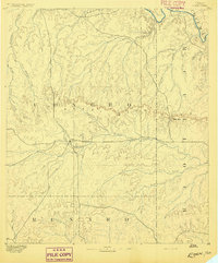
1892 · Eden
USGS Topo · 1:125,000
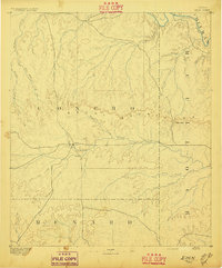
1896 · Eden
USGS Topo · 1:125,000
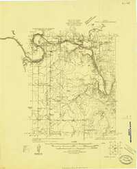
1924 · Eden 1-a
USGS Topo · 1:48,000
1931 · Stacy
USGS Topo · 1:62,500
1954 · Brownwood
USGS Topo · 1:250,000
1960 · Melvin
USGS Topo · 1:24,000
1967 · Millersview SE
USGS Topo · 1:24,000
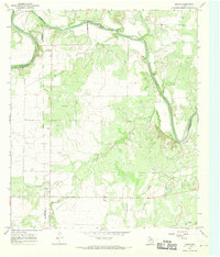
1967 · Doole
USGS Topo · 1:24,000
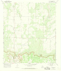
1967 · Salt Gap
USGS Topo · 1:24,000
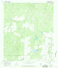
1967 · Millersview
USGS Topo · 1:24,000