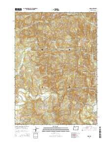
2014 Map of Dora
USGS Topo · Published 2014About this map
The Dora settlement and the surrounding timberlands of eastern Coos County are documented here as they appeared in 2014. The landscape is defined by the steep drainage basins of the East Fork Coquille River and its numerous tributaries, including Middle Cr, Cherry Cr, and Elk Cr. The map reveals an intensive network of logging infrastructure, most notably the Cherry Creek Mainline and the GP Reload site, which reflect the region's industrial reliance on forest products.
Find a feature on this map
44 named features on this map. Tap any name to fly to it.
Don’t see what you’re looking for? This feature index may not catch every label — zoom into the map to look around manually.
Map Details
Editions of this 2014 Dora Map
This is the sole edition of this map. No revisions or reprints were ever made.
Other maps of this area

1896 · Coos Bay
USGS Topo · 1:125,000

1898 · Coos Bay
USGS Topo · 1:125,000

1900 · Coos Bay
USGS Topo · 1:125,000

1928 · Sitkum
USGS Topo · 1:125,000

1942 · Coquille
USGS Topo · 1:62,500

1942 · Coos Bay
USGS Topo · 1:62,500

1945 · Coquille
USGS Topo · 1:62,500

1945 · Coos Bay
USGS Topo · 1:62,500

1954 · Coos Bay
USGS Topo · 1:250,000

1955 · Ivers Peak
USGS Topo · 1:62,500