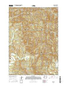
2017 Map of Dora
USGS Topo · Published 2017About this map
The settlement of Dora serves as a central point in this part of Coos County, situated along the Myrtle Point Dora Sitkum Rd near the East Fork Coquille River. This 2017 survey reveals a landscape defined by industrial and historic transport corridors, most notably the Coos Bay Wagon Rd and various access ways such as the Cherry Creek Mainline and Burnt Mountain Access Rd. These routes emphasize the area's ongoing relationship with the timber industry and its rugged geography.
Find a feature on this map
51 named features on this map. Tap any name to fly to it.
Don’t see what you’re looking for? This feature index may not catch every label — zoom into the map to look around manually.
Map Details
Editions of this 2017 Dora Map
This is the sole edition of this map. No revisions or reprints were ever made.
Other maps of this area
1896 · Coos Bay
USGS Topo · 1:125,000
1898 · Coos Bay
USGS Topo · 1:125,000
1900 · Coos Bay
USGS Topo · 1:125,000
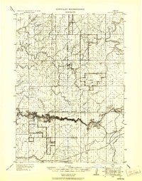
1928 · Sitkum
USGS Topo · 1:125,000
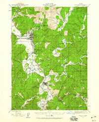
1942 · Coquille
USGS Topo · 1:62,500
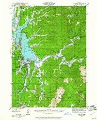
1942 · Coos Bay
USGS Topo · 1:62,500
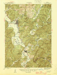
1945 · Coquille
USGS Topo · 1:62,500
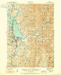
1945 · Coos Bay
USGS Topo · 1:62,500
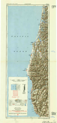
1954 · Coos Bay
USGS Topo · 1:250,000
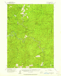
1955 · Ivers Peak
USGS Topo · 1:62,500