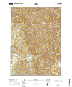
2020 Map of Dora
USGS Topo · Published 2020About this map
The small community of Dora sits at the heart of this landscape, positioned along the winding East Fork Coquille River in Coos County. This modern survey illustrates a region defined by its timber and transportation history, specifically marked by the historic Coos Bay Wagon Rd as it traverses the uneven terrain between drainage basins. Family and local history connections are anchored at the McKinley Cem near the western edge of the quadrangle, while the land is divided by prominent features such as Cherry Creek Ridge and the Brewster Canyon. The network of forestry and access roads, including the Cherry Creek Mainline and Burnt Mountain Access Rd, underscores the ongoing role of the timber industry in shaping the movement through these valleys and along the numerous tributaries like Middle Cr and China Cr.
Find a feature on this map
54 named features on this map. Tap any name to fly to it.
Don’t see what you’re looking for? This feature index may not catch every label — zoom into the map to look around manually.
Map Details
Editions of this 2020 Dora Map
This is the sole edition of this map. No revisions or reprints were ever made.
Other maps of this area

1896 · Coos Bay
USGS Topo · 1:125,000

1898 · Coos Bay
USGS Topo · 1:125,000

1900 · Coos Bay
USGS Topo · 1:125,000

1928 · Sitkum
USGS Topo · 1:125,000

1942 · Coquille
USGS Topo · 1:62,500

1942 · Coos Bay
USGS Topo · 1:62,500

1945 · Coquille
USGS Topo · 1:62,500

1945 · Coos Bay
USGS Topo · 1:62,500

1954 · Coos Bay
USGS Topo · 1:250,000

1955 · Ivers Peak
USGS Topo · 1:62,500