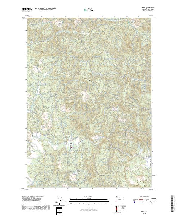
2024 Map of Dora
USGS Topo · Published 2024About this map
The settlement of Dora sits along the southern bank of the East Fork Coquille River, serving as a central point in this landscape of deep canyons and prominent ridges. Historically significant transportation routes like the Coos Bay Wagon Rd wind through the area, tracing the rugged topography between Brewster Canyon and Brewster Valley. For genealogists and local historians, the McKinley Cem near the river provides a vital link to the early families of this Coos County interior.
Find a feature on this map
46 named features on this map. Tap any name to fly to it.
Don’t see what you’re looking for? This feature index may not catch every label — zoom into the map to look around manually.
Map Details
Editions of this 2024 Dora Map
This is the sole edition of this map. No revisions or reprints were ever made.
Other maps of this area

1896 · Coos Bay
USGS Topo · 1:125,000

1898 · Coos Bay
USGS Topo · 1:125,000

1900 · Coos Bay
USGS Topo · 1:125,000

1928 · Sitkum
USGS Topo · 1:125,000

1942 · Coquille
USGS Topo · 1:62,500

1942 · Coos Bay
USGS Topo · 1:62,500

1945 · Coquille
USGS Topo · 1:62,500

1945 · Coos Bay
USGS Topo · 1:62,500

1954 · Coos Bay
USGS Topo · 1:250,000

1955 · Ivers Peak
USGS Topo · 1:62,500