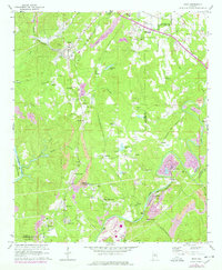
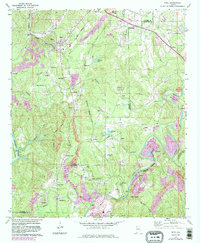
1971 Map of Dora
USGS Topo · Published 1978About this map
Dora and Sumiton anchor this 1970s landscape, illustrating the industrial and residential patterns of the coal region at the Walker and Jefferson County line. The map reveals an area defined by its complex transportation and extraction networks, including the St. Louis-San Francisco, Southern, and Louisville and Nashville railroads. These lines connect a dense series of mining communities and company towns such as Burnwell, West Jefferson, and Twilley Town. Evidence of the region's primary industry is clear through numerous strip mines that weave around water bodies like Williams Lake and Thornton Lake. Local social foundations are well-documented, from the Dora High School to rural congregations at Calvary Church and Morgan Chapel. The topography is further shaped by the Locust Fork and Mulberry Fork, which frame the rugged terrain of the Warrior Coal Basin.
Find a feature on this map
59 named features on this map. Tap any name to fly to it.
Don’t see what you’re looking for? This feature index may not catch every label — zoom into the map to look around manually.
Map Details
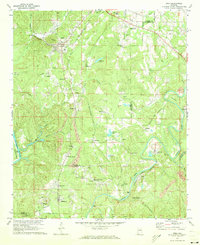
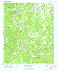
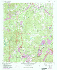
Editions of this 1971 Dora Map
5 editions found
Other maps of this area

1889 · Birmingham
USGS Topo · 1:125,000

1892 · Birmingham
USGS Topo · 1:125,000

1893 · Jasper
USGS Topo · 1:125,000

1895 · Birmingham
USGS Topo · 1:125,000

1904 · Birmingham Coal District
USGS Topo · 1:62,500

1906 · Birmingham Special
USGS Topo · 1:62,500

1907 · Birmingham
USGS Topo · 1:125,000

1935 · Port Birmingham
USGS Topo · 1:48,000

1938 · Port Birmingham
USGS Topo · 1:62,500

1949 · Cordova
USGS Topo · 1:24,000