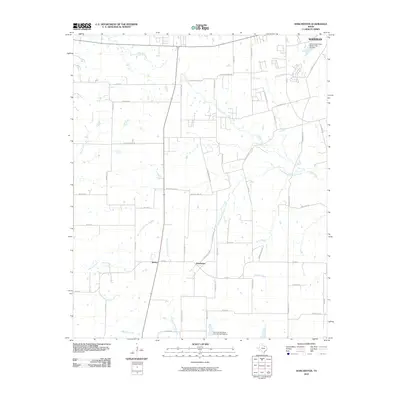
2010 Map of Dorchester
USGS Topo · Published 2010About this map
Dorchester and Sperry sit at the center of this North Texas landscape, where the headwaters of the East Fork Trinity River begin their southward journey. The terrain is defined by a dendritic network of streams including Choctaw Creek and its South Branch, which drain towards the Red River basin while Buck Creek and Little Elm Creek flow toward the Trinity. This drainage divide is marked by local water management infrastructure such as the Soil Conservation Service Site 18 Dam and Soil Conservation Service Site 10a Dam.
Find a feature on this map
56 named features on this map. Tap any name to fly to it.
Don’t see what you’re looking for? This feature index may not catch every label — zoom into the map to look around manually.
Map Details
Editions of this 2010 Dorchester Map
This is the sole edition of this map. No revisions or reprints were ever made.
Other maps of this area

1901 · Denison
USGS Topo · 1:125,000

1954 · Sherman
USGS Topo · 1:250,000

1958 · Dorchester
USGS Topo · 1:24,000

1958 · Sherman NW
USGS Topo · 1:24,000

1958 · Whitesboro
USGS Topo · 1:62,500

1958 · Sherman
USGS Topo · 1:250,000

1958 · Sherman
USGS Topo · 1:62,500

1958 · Sherman
USGS Topo · 1:24,000

1958 · Howe
USGS Topo · 1:24,000

1961 · Gunter
USGS Topo · 1:24,000