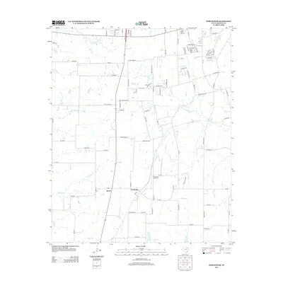
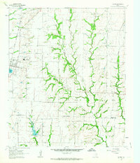
2013 Map of Dorchester
USGS Topo · Published 2013About this map
Dorchester and Sperry serve as the primary focal points in this section of Grayson County, where the landscape is defined by the headwaters and tributaries of several prominent Texas waterways. The drainage network includes Choctaw Cr and its S Br Choctaw Cr, alongside the upper reaches of the E Fork Trinity River. Near the center of the sheet, McKinstry Springs represents a localized water source that historically influenced the surrounding settlement patterns.
Find a feature on this map
96 named features on this map. Tap any name to fly to it.
Don’t see what you’re looking for? This feature index may not catch every label — zoom into the map to look around manually.
Map Details
Editions of this 2013 Dorchester Map
This is the sole edition of this map. No revisions or reprints were ever made.
Other maps of this area
1901 · Denison
USGS Topo · 1:125,000

1954 · Sherman
USGS Topo · 1:250,000
1958 · Dorchester
USGS Topo · 1:24,000
1958 · Sherman NW
USGS Topo · 1:24,000
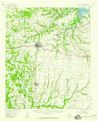
1958 · Whitesboro
USGS Topo · 1:62,500

1958 · Sherman
USGS Topo · 1:250,000
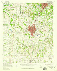
1958 · Sherman
USGS Topo · 1:62,500
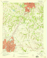
1958 · Sherman
USGS Topo · 1:24,000
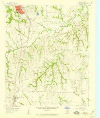
1958 · Howe
USGS Topo · 1:24,000
1961 · Gunter
USGS Topo · 1:24,000