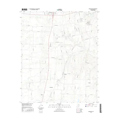
2016 Map of Dorchester
USGS Topo · Published 2016About this map
Dorchester and its surrounding agricultural corridor are defined by the headwaters of the E Fork Trinity River and several significant tributaries, including Choctaw Cr and Little Elm Cr. This region of Grayson County reflects a transition from early settlement routes to modern aviation infrastructure, as evidenced by the TXAerosport Aerodrome situated between the primary townships. The landscape is etched with reminders of older transit patterns, notably Old Preston Rd and Old Gunter Hwy, which run parallel to newer thoroughfares. Natural landmarks like McKinstry Springs and named watercourses such as Squirrel Cr and Buck Cr highlight the drainage network that shaped the location of local farmsteads. The map also captures the outlying edges of Southmayd, Gunter, and Howe, documenting the rural-suburban interface of north Texas in the early 21st century.
Find a feature on this map
67 named features on this map. Tap any name to fly to it.
Don’t see what you’re looking for? This feature index may not catch every label — zoom into the map to look around manually.
Map Details
Editions of this 2016 Dorchester Map
This is the sole edition of this map. No revisions or reprints were ever made.
Other maps of this area

1901 · Denison
USGS Topo · 1:125,000

1954 · Sherman
USGS Topo · 1:250,000

1958 · Dorchester
USGS Topo · 1:24,000

1958 · Sherman NW
USGS Topo · 1:24,000

1958 · Whitesboro
USGS Topo · 1:62,500

1958 · Sherman
USGS Topo · 1:250,000

1958 · Sherman
USGS Topo · 1:62,500

1958 · Sherman
USGS Topo · 1:24,000

1958 · Howe
USGS Topo · 1:24,000

1961 · Gunter
USGS Topo · 1:24,000