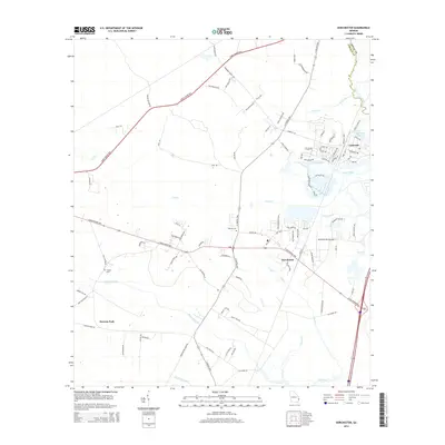
2014 Map of Dorchester
USGS Topo · Published 2014About this map
Limerick and Dorchester anchor this coastal Georgia landscape, where the tidal influences of the Jerico River and Gress River shape the low-lying terrain. The map captures a mix of traditional rural settlements and modern residential pockets, particularly around Trophy Lake and Upper Lake George. A legacy of community history is evident at the Midway Cem and Thebes Cem, while the Berg Park Aerodrome indicates the area's light aviation infrastructure. The network of winding waterways, including Peacock Creek and Porter Cr, creates a complex drainage system that defines the local geography. Several primary arteries, most notably the Leroy Coffer Hwy and the N Coastal Hwy, facilitate movement through the dense coastal wetlands and pine forests typical of this region near the Bryan County line.
Find a feature on this map
99 named features on this map. Tap any name to fly to it.
Don’t see what you’re looking for? This feature index may not catch every label — zoom into the map to look around manually.
Map Details
Editions of this 2014 Dorchester Map
This is the sole edition of this map. No revisions or reprints were ever made.
Other maps of this area
1918 · Hinesville
USGS Topo · 1:62,500
1920 · Sapelo River
USGS Topo · 1:62,500
1920 · Limerick
USGS Topo · 1:62,500
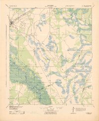
1943 · Ludowici
USGS Topo · 1:62,500
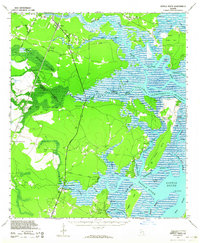
1943 · Sapelo River
USGS Topo · 1:62,500
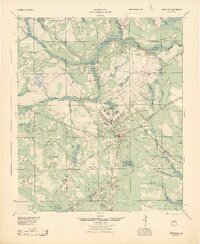
1944 · Hinesville
USGS Topo · 1:62,500
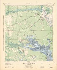
1944 · Limerick
USGS Topo · 1:62,500
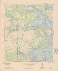
1945 · Sapelo River
USGS Topo · 1:62,500
1946 · Brunswick
USGS Topo · 1:250,000
1948 · Brunswick
USGS Topo · 1:250,000