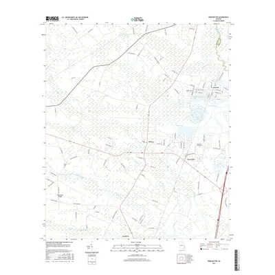
2017 Map of Dorchester
USGS Topo · Published 2017About this map
Midway and Riceboro anchor this coastal Georgia landscape, where the tidal influence of the Jerico River and Gress River defines the drainage patterns of the coastal plain. The settlement of Limerick sits at the northeastern edge of the quadrangle, while smaller nodes like Screven Fork and Dorchester are connected by a network of rural roads that navigate through extensive wetland systems. These low-lying areas, including Baker Swamp and Haynes Swamp, surround localized rises such as Dog Flea Hill.
Find a feature on this map
97 named features on this map. Tap any name to fly to it.
Don’t see what you’re looking for? This feature index may not catch every label — zoom into the map to look around manually.
Map Details
Editions of this 2017 Dorchester Map
This is the sole edition of this map. No revisions or reprints were ever made.
Other maps of this area
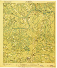
1918 · Hinesville
USGS Topo · 1:62,500
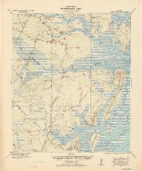
1920 · Sapelo River
USGS Topo · 1:62,500
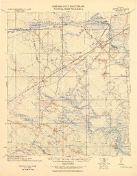
1920 · Limerick
USGS Topo · 1:62,500
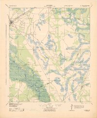
1943 · Ludowici
USGS Topo · 1:62,500
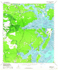
1943 · Sapelo River
USGS Topo · 1:62,500
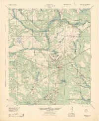
1944 · Hinesville
USGS Topo · 1:62,500
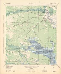
1944 · Limerick
USGS Topo · 1:62,500
1945 · Sapelo River
USGS Topo · 1:62,500
1946 · Brunswick
USGS Topo · 1:250,000
1948 · Brunswick
USGS Topo · 1:250,000