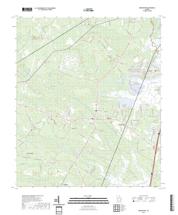
2024 Map of Dorchester
USGS Topo · Published 2024About this map
Midway and Dorchester stand as central points in this coastal Georgia landscape, where the tidal waters of the Gress River and Jerico River define the eastern terrain. The geography is dominated by a complex network of wetlands and watercourses, including Baker Swamp, Haynes Swamp, and the winding Peacock Creek. These natural features have long influenced the development of the region, from the early settlement of Riceboro near Russell Swamp to the agricultural pockets surrounding Screven Fork.
Find a feature on this map
93 named features on this map. Tap any name to fly to it.
Don’t see what you’re looking for? This feature index may not catch every label — zoom into the map to look around manually.
Map Details
Editions of this 2024 Dorchester Map
This is the sole edition of this map. No revisions or reprints were ever made.
Other maps of this area

1918 · Hinesville
USGS Topo · 1:62,500

1920 · Sapelo River
USGS Topo · 1:62,500

1920 · Limerick
USGS Topo · 1:62,500

1943 · Ludowici
USGS Topo · 1:62,500

1943 · Sapelo River
USGS Topo · 1:62,500

1944 · Hinesville
USGS Topo · 1:62,500

1944 · Limerick
USGS Topo · 1:62,500

1945 · Sapelo River
USGS Topo · 1:62,500

1946 · Brunswick
USGS Topo · 1:250,000

1948 · Brunswick
USGS Topo · 1:250,000