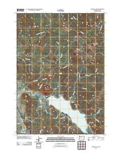
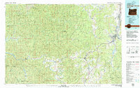
2011 Map of Dorena Lake
USGS Topo · Published 2011About this map
Dorena Lake serves as the focal point of this 2011 survey, a central basin collecting the waters of the Row River and numerous mountain creeks. Controlled by the Dorena Dam, the reservoir is surrounded by a network of rural roads and family-named landmarks that hint at the area's timber and agricultural roots. To the north of the lake, Cerro Gordo and the Doolittle Cemetery occupy the rising terrain near Bald Mountain. The presence of the evocatively named Old Slow and Easy Landing on the northern shore suggests a history of recreational use or river travel. The map captures a landscape defined by significant elevation changes, from the valleys of Mosby Creek and Gettings Creek to the heights of Cougar Mountain and Bear Mountain, reflecting the varied geography of this Lane County region.
Find a feature on this map
49 named features on this map. Tap any name to fly to it.
Don’t see what you’re looking for? This feature index may not catch every label — zoom into the map to look around manually.
Map Details
Editions of this 2011 Dorena Lake Map
This is the sole edition of this map. No revisions or reprints were ever made.
Other maps of this area
1921 · Cottage Grove
USGS Topo · 1:62,500
1935 · Lowell
USGS Topo · 1:96,000
1942 · Lowell
USGS Topo · 1:125,000
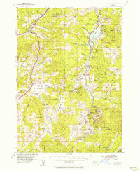
1954 · Anlauf
USGS Topo · 1:62,500
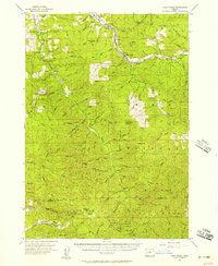
1955 · Culp Creek
USGS Topo · 1:62,500
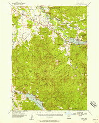
1955 · Lowell
USGS Topo · 1:62,500
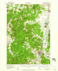
1957 · Cottage Grove
USGS Topo · 1:62,500

1958 · Roseburg
USGS Topo · 1:250,000

1959 · Roseburg
USGS Topo · 1:250,000
1979 · Cottage Grove
USGS Topo · 1:100,000