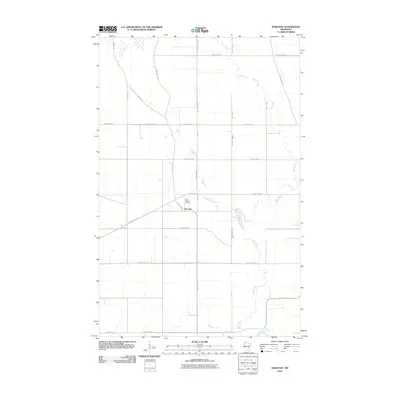
2010 Map of Dorothy
USGS Topo · Published 2010About this map
Dorothy sits at the heart of this Red Lake County landscape, a small community defined by its proximity to the winding Little Black River. This 2010 survey illustrates the structured agricultural grid of northwestern Minnesota, where the drainage of the Black River system and the Red Lake River shape the fertile lowlands. A significant historical element preserved on the map is the path of the Pembina Trl, which cuts across the modern section lines as a diagonal legacy of early regional trade routes. Local genealogy and land use are anchored by the Saint Dorothy Cemetery, located just west of the primary settlement. The intersection of local county highways and township roads, such as County Hwy-13 and Twp Rd, demonstrates the established rural infrastructure that supports this prairie river valley.
Find a feature on this map
27 named features on this map. Tap any name to fly to it.
Don’t see what you’re looking for? This feature index may not catch every label — zoom into the map to look around manually.
Map Details
Editions of this 2010 Dorothy Map
This is the sole edition of this map. No revisions or reprints were ever made.
Other maps of this area

1918 · Angus
USGS Topo · 1:62,500

1918 · Red Lake Falls
USGS Topo · 1:62,500

1918 · Viking
USGS Topo · 1:62,500

1952 · Red Lake Falls
USGS Topo · 1:62,500

1952 · Grand Forks
USGS Topo · 1:250,000

1952 · Thief River Falls
USGS Topo · 1:250,000

1953 · Crookston
USGS Topo · 1:62,500

1956 · Thief River Falls
USGS Topo · 1:250,000

1956 · Grand Forks
USGS Topo · 1:250,000

1957 · Thief River Falls
USGS Topo · 1:250,000