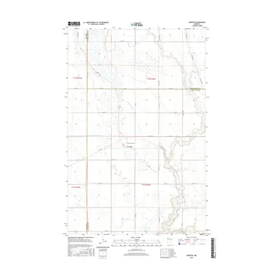
2016 Map of Dorothy
USGS Topo · Published 2016About this map
Dorothy serves as the central hub of this northern Minnesota landscape, situated at the junction of Co Hwy 3 and Co Rd 13. The area is characterized by an extensive network of water management features, including Judicial Ditch Number Sixty and Lateral Ditch Number Four, which reflect the region's agricultural drainage history. The presence of Saint Dorothy Cem near the town center provides a specific point of interest for genealogists researching Red Lake County family lineages.
Find a feature on this map
39 named features on this map. Tap any name to fly to it.
Don’t see what you’re looking for? This feature index may not catch every label — zoom into the map to look around manually.
Map Details
Editions of this 2016 Dorothy Map
This is the sole edition of this map. No revisions or reprints were ever made.
Other maps of this area
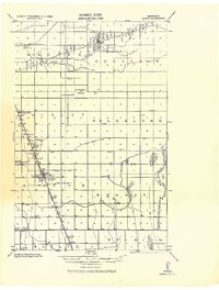
1918 · Angus
USGS Topo · 1:62,500
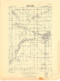
1918 · Red Lake Falls
USGS Topo · 1:62,500
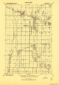
1918 · Viking
USGS Topo · 1:62,500
1952 · Red Lake Falls
USGS Topo · 1:62,500
1952 · Grand Forks
USGS Topo · 1:250,000

1952 · Thief River Falls
USGS Topo · 1:250,000
1953 · Crookston
USGS Topo · 1:62,500

1956 · Thief River Falls
USGS Topo · 1:250,000
1956 · Grand Forks
USGS Topo · 1:250,000

1957 · Thief River Falls
USGS Topo · 1:250,000