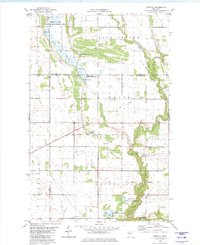
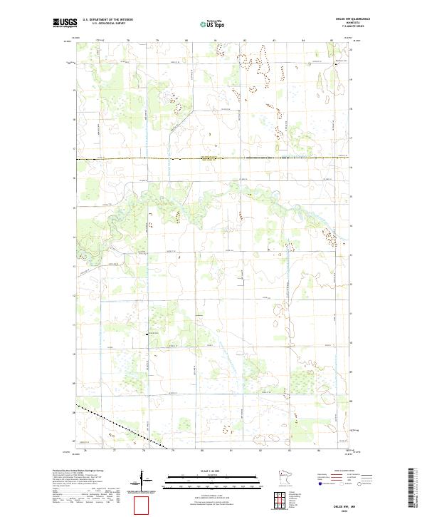
2022 Map of Dorothy
USGS Topo · Published 2022About this map
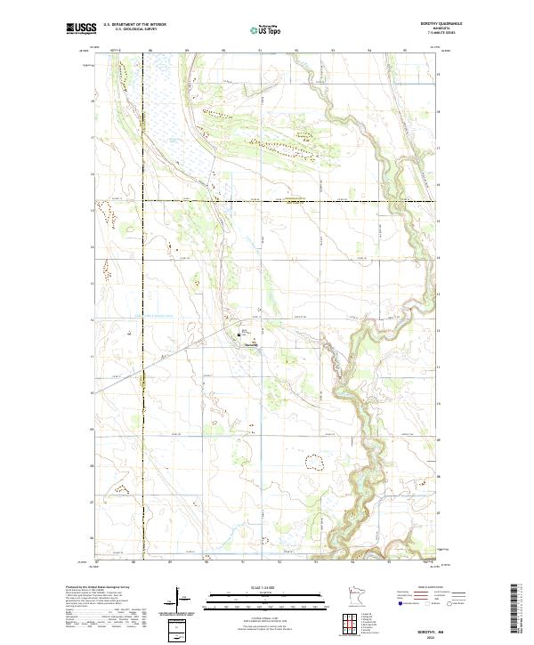
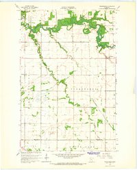
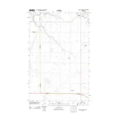
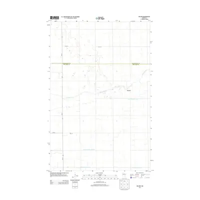
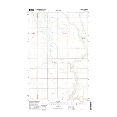
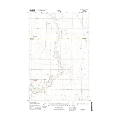
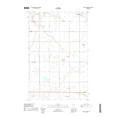
Dorothy serves as the central settlement of this northern Minnesota landscape, situated at a junction where county roads meet the agricultural grid. The area is defined by its complex water management and natural hydrology, featuring the winding course of the Black River and the Little Black River. Extensive wetland areas like Goose Lake Swamp are countered by an engineered network of waterways, including Judicial Ditch Number Sixty and Lateral Ditch Number Four, illustrating the region's long history of land reclamation for farming. Local heritage is anchored at Saint Dorothy's Cem, while the historic route of the Pembina Trl cuts across the northwestern sections, marking an era of early regional transit. The map also traces the jurisdictional tri-point where Polk, Pennington, and Red Lake counties converge.
Find a feature on this map
42 named features on this map. Tap any name to fly to it.
Don’t see what you’re looking for? This feature index may not catch every label — zoom into the map to look around manually.
Map Details
Editions of this 2022 Dorothy Map
This is the sole edition of this map. No revisions or reprints were ever made.
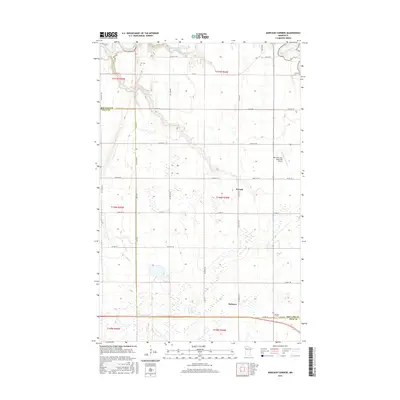
Historical Maps of Dorothy Through Time
44 maps found
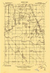
1918 Terrebonne
Red Lake County, MN
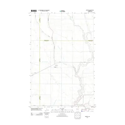
1919 Grit
Red Lake County, MN
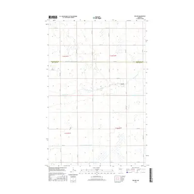
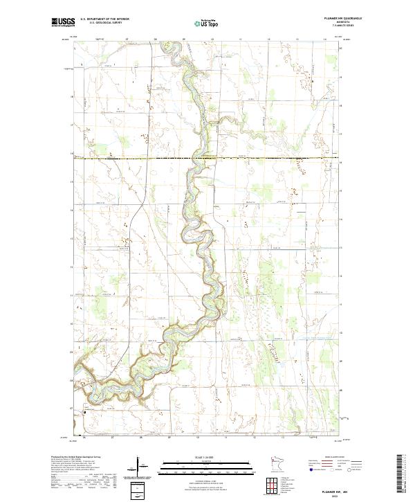
1964 Plummer NW
Red Lake County, MN
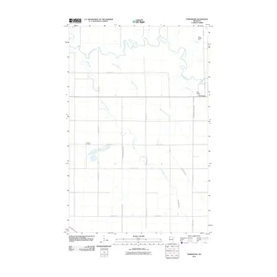
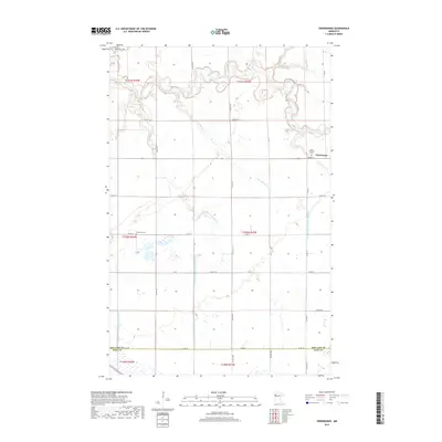
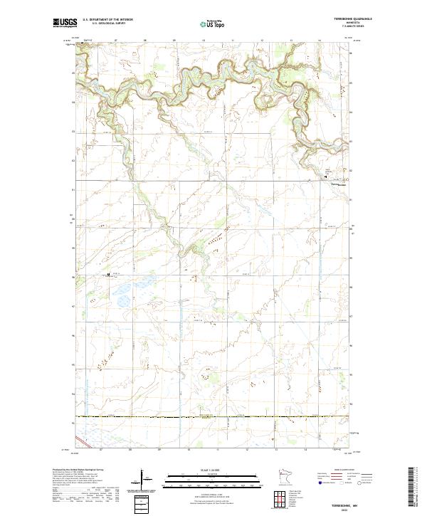
1964 Terrebonne
Red Lake County, MN
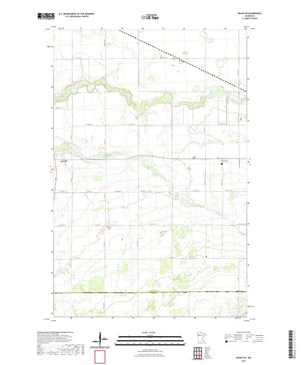
1971 Oklee SW
Red Lake County, MN
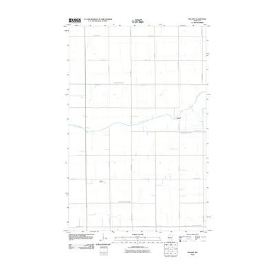
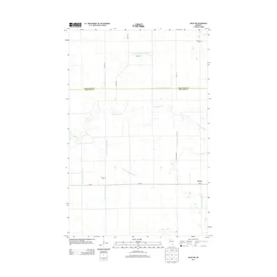
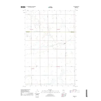
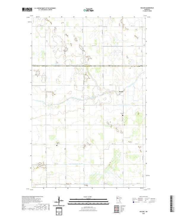
1971 Roland
Red Lake County, MN
1972 Oklee NW
Red Lake County, MN
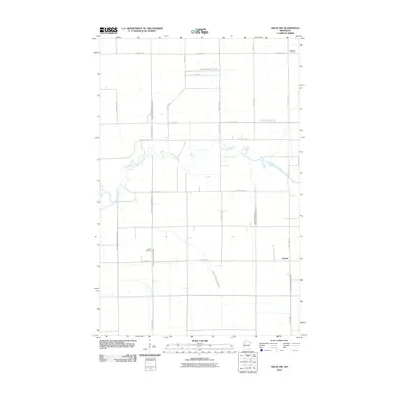
1982 Dorothy
Red Lake County, MN
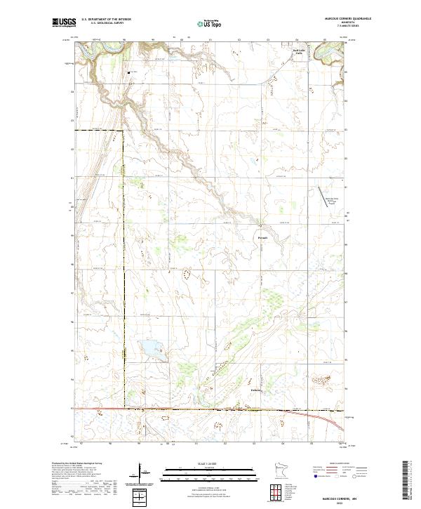
1982 Marcoux Corners
Red Lake County, MN
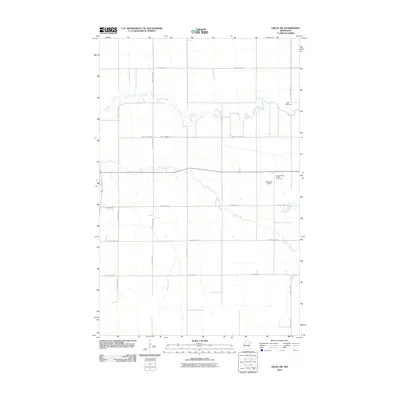
2010 Dorothy
Red Lake County, MN
2010 Marcoux Corners
Red Lake County, MN
2010 Oklee NW
Red Lake County, MN
2010 Oklee SW
Red Lake County, MN
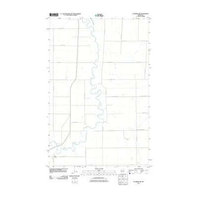
2010 Plummer NW
Red Lake County, MN
2010 Roland
Red Lake County, MN
2010 Terrebonne
Red Lake County, MN
2013 Dorothy
Red Lake County, MN
2013 Marcoux Corners
Red Lake County, MN
2013 Oklee NW
Red Lake County, MN
2013 Oklee SW
Red Lake County, MN
2013 Plummer NW
Red Lake County, MN
2013 Roland
Red Lake County, MN
2013 Terrebonne
Red Lake County, MN
2016 Dorothy
Red Lake County, MN
2016 Marcoux Corners
Red Lake County, MN
2016 Oklee NW
Red Lake County, MN
2016 Oklee SW
Red Lake County, MN
2016 Plummer NW
Red Lake County, MN
2016 Roland
Red Lake County, MN
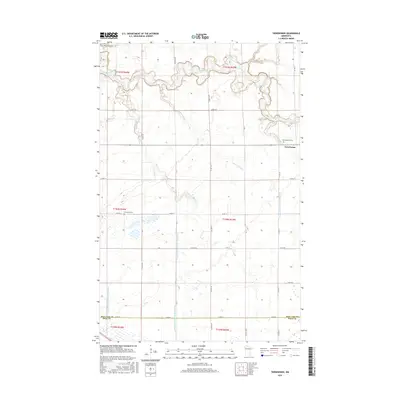
2016 Terrebonne
Red Lake County, MN
2019 Dorothy
Red Lake County, MN
2019 Marcoux Corners
Red Lake County, MN
2019 Oklee NW
Red Lake County, MN
2019 Oklee SW
Red Lake County, MN
2019 Plummer NW
Red Lake County, MN
2019 Roland
Red Lake County, MN
2019 Terrebonne
Red Lake County, MN
2022 Dorothy
Red Lake County, MN
2022 Marcoux Corners
Red Lake County, MN
2022 Oklee NW
Red Lake County, MN
2022 Oklee SW
Red Lake County, MN
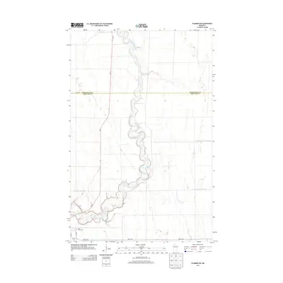
2022 Plummer NW
Red Lake County, MN
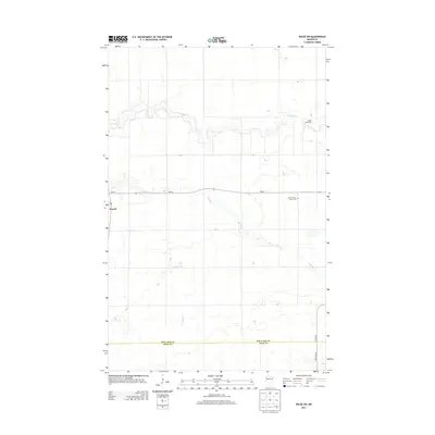
2022 Roland
Red Lake County, MN
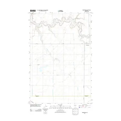
2022 Terrebonne
Red Lake County, MN