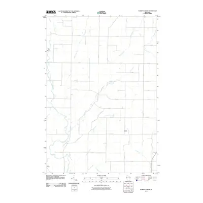
2010 Map of Dorrity Creek
USGS Topo · Published 2010About this map
Hay River meanders through the western portion of this Barron County landscape, serving as a primary drainage for a network of tributaries that includes Dorrity Creek and Lower Pine Creek. The area is characterized by a precise grid of rural roads, such as 9th Ave and 10th St, which partition the agricultural and woodland tracts. Local history and genealogy are anchored by two significant sites: Glenwood Cemetery in the southeast and Sunset Cemetery in the southwest, providing specific points of reference for researchers of family history in Arland.
Find a feature on this map
42 named features on this map. Tap any name to fly to it.
Don’t see what you’re looking for? This feature index may not catch every label — zoom into the map to look around manually.
Map Details
Editions of this 2010 Dorrity Creek Map
This is the sole edition of this map. No revisions or reprints were ever made.
Other maps of this area

1948 · Downing
USGS Topo · 1:62,500

1949 · Ridgeland
USGS Topo · 1:62,500

1950 · Downing
USGS Topo · 1:62,500

1950 · Turtle Lake
USGS Topo · 1:62,500

1951 · Ridgeland
USGS Topo · 1:62,500

1951 · Barron
USGS Topo · 1:62,500

1952 · Turtle Lake
USGS Topo · 1:62,500

1953 · Rice Lake
USGS Topo · 1:250,000

1953 · Stillwater
USGS Topo · 1:250,000

1955 · Stillwater
USGS Topo · 1:250,000