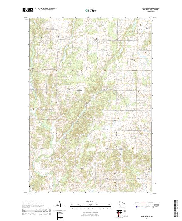
2022 Map of Dorrity Creek
USGS Topo · Published 2022About this map
Hay River and its numerous tributaries define this section of rural Barron County, where a grid of township roads organizes a landscape of rolling agricultural land and wetlands. The drainage pattern is particularly dense, with Dorrity Cr, Quaderer Cr, and Tainter Cr cutting through the terrain. For those researching local heritage, the map identifies several key points of community history, most notably the Glenwood Cem and the Maple Grove Baptist Cem, which serve as physical anchors for the surrounding farmsteads. The presence of Sweeny Pond and the headwaters of Upper Pine Cr and Lower Pine Cr suggest a terrain that remains largely tied to its natural hydrology and small-scale land divisions, preserved here in the early 21st century.
Find a feature on this map
57 named features on this map. Tap any name to fly to it.
Don’t see what you’re looking for? This feature index may not catch every label — zoom into the map to look around manually.
Map Details
Editions of this 2022 Dorrity Creek Map
This is the sole edition of this map. No revisions or reprints were ever made.
Other maps of this area

1948 · Downing
USGS Topo · 1:62,500

1949 · Ridgeland
USGS Topo · 1:62,500

1950 · Downing
USGS Topo · 1:62,500

1950 · Turtle Lake
USGS Topo · 1:62,500

1951 · Ridgeland
USGS Topo · 1:62,500

1951 · Barron
USGS Topo · 1:62,500

1952 · Turtle Lake
USGS Topo · 1:62,500

1953 · Rice Lake
USGS Topo · 1:250,000

1953 · Stillwater
USGS Topo · 1:250,000

1955 · Stillwater
USGS Topo · 1:250,000