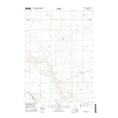
2017 Map of Dorsey Butte
USGS Topo · Published 2017About this map
Dorsey Butte serves as a central vertical landmark in this arid stretch of Idaho where Ada and Elmore counties meet. The landscape is defined by its water management infrastructure, most notably the Middle Line Canal and Low Line Canal, which slice through the terrain to support agriculture on the plateau. To the south, Chattin Hill rises above the adjacent Chattin Flat, marking a distinct shift in the local topography. This area, largely defined by wide-ranging section lines and rural thoroughfares like Grandview Rd and Shaw Ln, reveals a grid of property divisions and access roads such as Bennett Rd and Hayland Rd. The map provides a clear record of the intersection between natural drainages like Jack Cr and the human-engineered canal systems that have reshaped this high-desert environment.
Find a feature on this map
29 named features on this map. Tap any name to fly to it.
Don’t see what you’re looking for? This feature index may not catch every label — zoom into the map to look around manually.
Map Details
Editions of this 2017 Dorsey Butte Map
This is the sole edition of this map. No revisions or reprints were ever made.
Other maps of this area
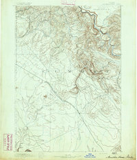
1892 · Mountain Home
USGS Topo · 1:125,000
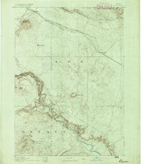
1892 · Bisuka
USGS Topo · 1:125,000
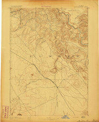
1893 · Mountain Home
USGS Topo · 1:125,000
1894 · Bisuka
USGS Topo · 1:125,000
1946 · Mouth of Bruneau
USGS Topo · 1:24,000
1947 · Grand View
USGS Topo · 1:62,500
1947 · Bruneau
USGS Topo · 1:62,500
1947 · Grand View
USGS Topo · 1:24,000
1947 · Jackass Butte
USGS Topo · 1:24,000
1947 · Vinson Wash
USGS Topo · 1:24,000