
1957 Map of Dos Lomas
USGS Topo · Published 1959About this map
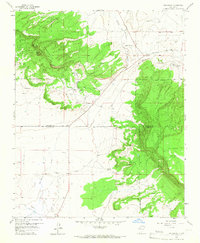
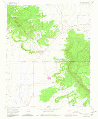
Uranium prospecting and livestock ranching define the high desert landscape of this 1957 survey. The industrial activity is concentrated in the central and southeastern corridors, where the Poison Canyon Mine, Barbara J No 1 Mine, and Zia Mines suggest a period of intensive mineral exploration across the mesa country. These operations are often located near the base of the dramatic Mesa Montanosa and La Jara Mesa, which dominate the relief.
Find a feature on this map
27 named features on this map. Tap any name to fly to it.
Don’t see what you’re looking for? This feature index may not catch every label — zoom into the map to look around manually.
Map Details
Editions of this 1957 Dos Lomas Map
3 editions found
Other maps of this area

1883 · Mt. Taylor
USGS Topo · 1:250,000

1886 · Mt. Taylor
USGS Topo · 1:250,000

1892 · Mt. Taylor
USGS Topo · 1:250,000

1899 · Mt. Taylor
USGS Topo · 1:250,000

1957 · Lobo Springs
USGS Topo · 1:24,000

1957 · Ambrosia Lake
USGS Topo · 1:24,000

1957 · Bluewater
USGS Topo · 1:24,000

1957 · Goat Mountain
USGS Topo · 1:24,000
1957 · Grants
USGS Topo · 1:24,000
1957 · Milan
USGS Topo · 1:24,000