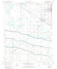
1956 Map of Dos Palos
USGS Topo · Published 1984About this map
The agricultural landscape of the San Joaquin Valley is defined here by a sophisticated network of irrigation and transportation, centered on the communities of Dos Palos and South Dos Palos. The Southern Pacific railroad runs through the region, supporting the movement of goods from local Grain Tanks and a Labor Camp. A complex system of waterways, including the Delta Mendota Canal, Main Canal, and Outside Canal, sustains the intensive farming operations between the Merced and Fresno county line. To the west, the terrain shifts into a seasonally wet Swamp, where numerous private recreational enclaves such as the Agatha Gun Club, Nine Old Men Hunt Club, and Chateau Duck Club are established. Further south, the map documents the Eagle Field Airport and its adjacent golf course, alongside the settlement of Oro Loma.
Find a feature on this map
52 named features on this map. Tap any name to fly to it.
Don’t see what you’re looking for? This feature index may not catch every label — zoom into the map to look around manually.
Map Details
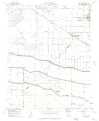
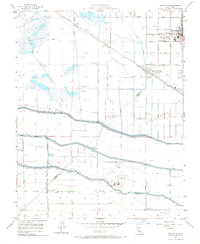
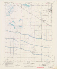
Editions of this 1956 Dos Palos Map
4 editions found
Other maps of this area

1913 · Panoche
USGS Topo · 1:125,000

1916 · Santa Rita Bridge
USGS Topo · 1:24,000

1916 · Delta Ranch
USGS Topo · 1:24,000

1920 · Santa Rita Bridge
USGS Topo · 1:31,680

1921 · Los Banos
USGS Topo · 1:31,680

1921 · Laguna Seca Ranch
USGS Topo · 1:31,680

1922 · Oxalis
USGS Topo · 1:31,680

1922 · Santa Rita Bridge
USGS Topo · 1:31,680

1922 · Charleston School
USGS Topo · 1:31,680

1922 · Dos Palos
USGS Topo · 1:31,680