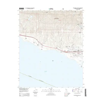
2015 Map of Dos Pueblos Canyon
USGS Topo · Published 2015About this map
The Santa Ynez Mountains dominate the northern landscape of this coastal survey, where the peaks of the Los Padres National Forest give way to a network of drainage canyons. Steep-walled terrain such as Dos Pueblos Canyon, Winchester Canyon, and Eagle Canyon carves toward the Pacific Ocean, shaping the development of the corridor along Calle Real. This area represents a transition between the wilder mountain slopes and the suburban expansion of Goleta and El Encanto Heights to the east.
Find a feature on this map
63 named features on this map. Tap any name to fly to it.
Don’t see what you’re looking for? This feature index may not catch every label — zoom into the map to look around manually.
Map Details
Editions of this 2015 Dos Pueblos Canyon Map
This is the sole edition of this map. No revisions or reprints were ever made.
Other maps of this area

1902 · Santa Ynez
USGS Topo · 1:125,000

1905 · Santa Ynez
USGS Topo · 1:125,000

1905 · Lompoc
USGS Topo · 1:125,000

1941 · San Rafael Mtn.
USGS Topo · 1:62,500

1942 · Lompoc
USGS Topo · 1:125,000

1942 · Gaviota
USGS Topo · 1:62,500

1942 · Goleta
USGS Topo · 1:62,500

1942 · San Rafael Mtn.
USGS Topo · 1:62,500

1942 · Los Olivos
USGS Topo · 1:62,500

1943 · San Rafael Mtn.
USGS Topo · 1:62,500