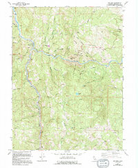
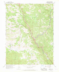
1967 Map of Dos Rios
USGS Topo · Published 1994About this map
Dos Rios sits at the vital confluence of the Eel River and the Middle Fork Eel River, serving as a central point in this rugged Mendocino County landscape. Based on mid-1960s photography with updates from the late 1980s, the map illustrates a region defined by its water systems and steep canyon topography. The settlement of Deer Lodge appears in the northern reaches, while the river banks are marked by technical infrastructure like the Gaging Station and various river-crossings along the Dos Rios Road.
Find a feature on this map
40 named features on this map. Tap any name to fly to it.
Don’t see what you’re looking for? This feature index may not catch every label — zoom into the map to look around manually.
Map Details
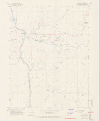
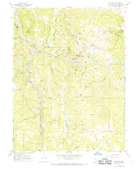
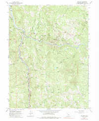
Editions of this 1967 Dos Rios Map
4 editions found
Other maps of this area

1920 · Covelo
USGS Topo · 1:62,500

1926 · Covelo
USGS Topo · 1:62,500

1929 · Eden Valley
USGS Topo · 1:62,500

1951 · Laytonville
USGS Topo · 1:62,500

1952 · Spyrock
USGS Topo · 1:62,500

1952 · Eden Valley
USGS Topo · 1:62,500

1952 · Covelo
USGS Topo · 1:62,500

1957 · Ukiah
USGS Topo · 1:250,000

1960 · Ukiah
USGS Topo · 1:250,000
1966 · Longvale
USGS Topo · 1:24,000