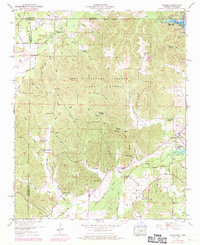
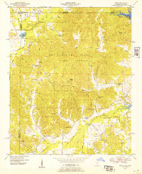
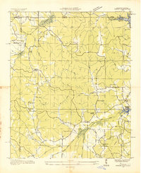
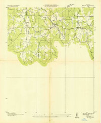
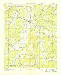
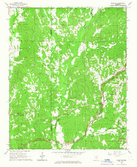
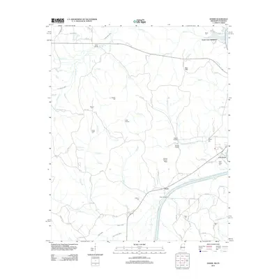
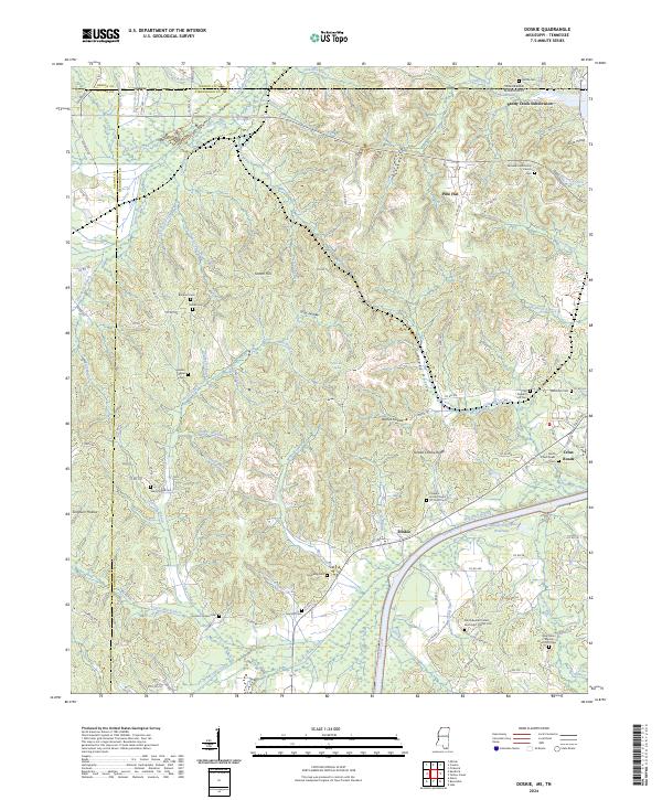
1950 Map of Doskie
USGS Topo · Published 1971About this map
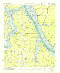
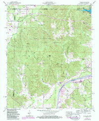
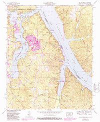
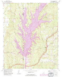
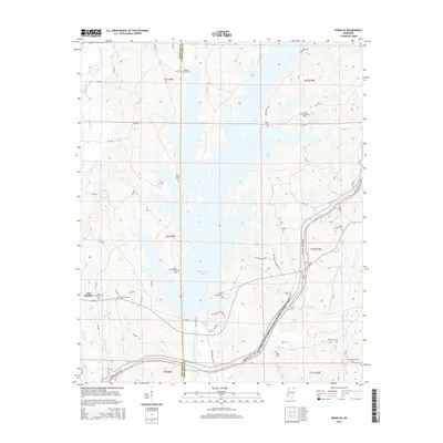
Tishomingo County Game Refuge dominates the center of this landscape, where the hilly terrain of northeastern Mississippi meets the Tennessee border. The map illustrates a rural society transitioning alongside massive water infrastructure projects, most notably the expansion of Pickwick Lake and its associated Pickwick Reservation Boundary. While the lake reshaped the hydrology of Yellow Creek and Sandy Creek, the upland interior remained a network of family-named hollows and ridges, such as Yankee Hollow and Barnes Ridge. Genealogists can find numerous small community hubs like Doskie and Cross Roads, supported by local institutions including Center Point School, Grissom Chapel, and Blackard Cem. The presence of the Coke Canal in the south and the Corinth and Marlow Road in the north highlights the era's primary transportation and drainage corridors.
Find a feature on this map
70 named features on this map. Tap any name to fly to it.
Don’t see what you’re looking for? This feature index may not catch every label — zoom into the map to look around manually.
Map Details
Editions of this 1950 Doskie Map
3 editions found
Historical Maps of Pine Flat Through Time
25 maps found
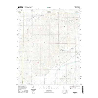
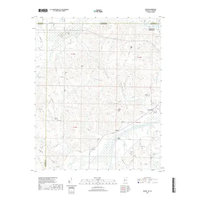
1935 Doskie
Tishomingo County, MS
1935 Holcut
Tishomingo County, MS
1935 Leedy
Tishomingo County, MS
1936 Shaws
Tishomingo County, MS
1950 Doskie
Tishomingo County, MS
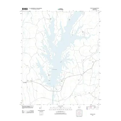
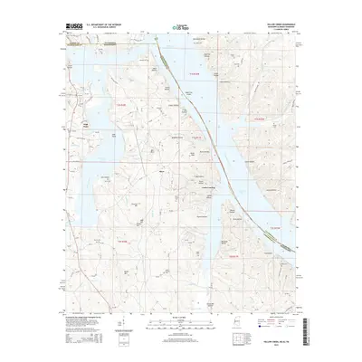
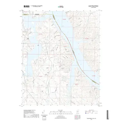
1953 Yellow Creek
Tishomingo County, MS
1965 Paden SE
Tishomingo County, MS
1992 Paden SE
Tishomingo County, MS
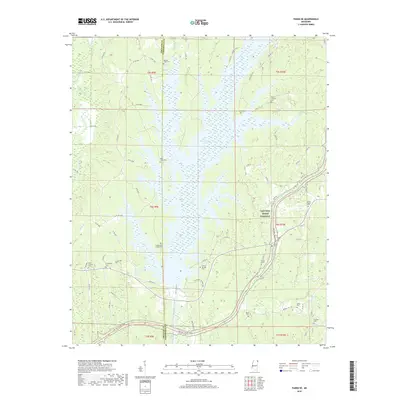
2010 Doskie
Tishomingo County, MS
2010 Yellow Creek
Tishomingo County, MS
2012 Doskie
Tishomingo County, MS
2012 Paden SE
Tishomingo County, MS
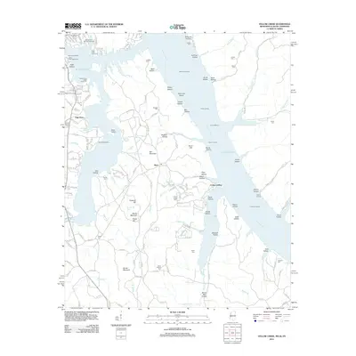
2012 Yellow Creek
Tishomingo County, MS
2015 Doskie
Tishomingo County, MS
2015 Paden SE
Tishomingo County, MS
2015 Yellow Creek
Tishomingo County, MS
2018 Doskie
Tishomingo County, MS
2018 Paden SE
Tishomingo County, MS
2018 Yellow Creek
Tishomingo County, MS
2020 Doskie
Tishomingo County, MS

2020 Yellow Creek
Tishomingo County, MS
2021 Paden SE
Tishomingo County, MS
2024 Doskie
Tishomingo County, MS
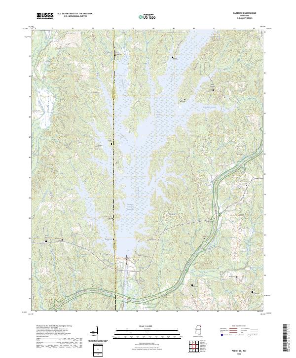
2024 Paden SE
Tishomingo County, MS
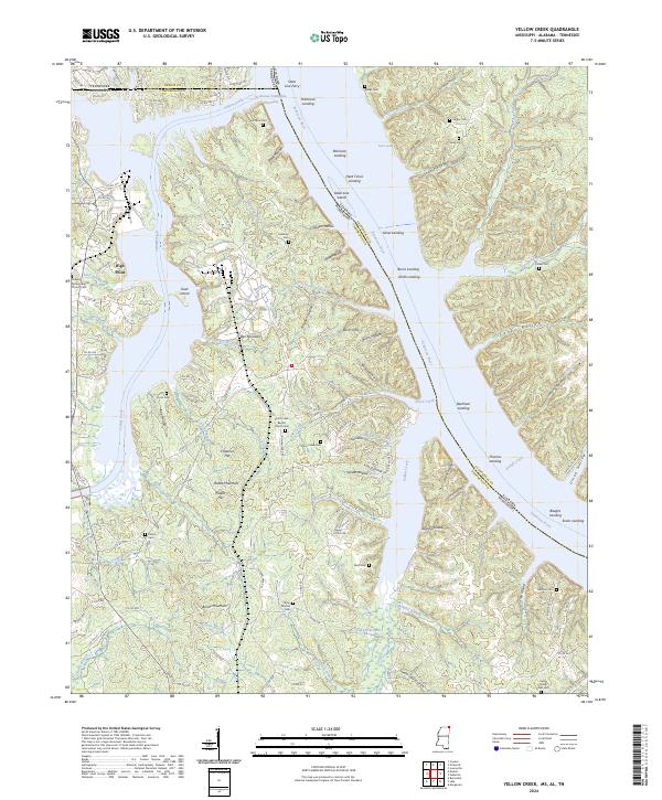
2024 Yellow Creek
Tishomingo County, MS