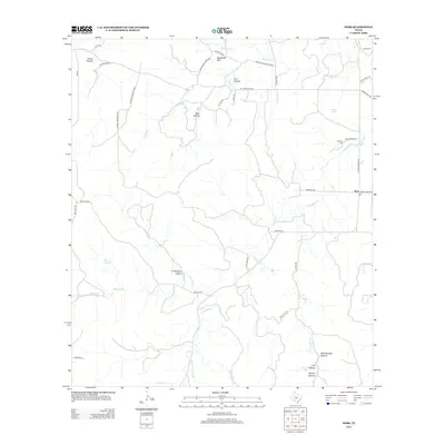
2012 Map of Doss
USGS Topo · Published 2012About this map
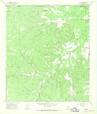
Doss serves as the central hub of this Hill Country landscape, where ranch roads and family-named routes like Schmidt-Anderegg Rd and Heard Ranch Rd converge. The terrain is defined by a dense network of drainages and named topographic features, including Swayback Mtn in the north and several distinct draws such as Schoolhouse Hollow and House Hollow. These features suggest a history of localized settlement and land use tied closely to the water sources that cut through the limestone, notably Onion Cr and Threadgill Cr.
Find a feature on this map
45 named features on this map. Tap any name to fly to it.
Don’t see what you’re looking for? This feature index may not catch every label — zoom into the map to look around manually.
Map Details
Editions of this 2012 Doss Map
This is the sole edition of this map. No revisions or reprints were ever made.
Other maps of this area

1887 · Mason
USGS Topo · 1:125,000

1894 · Mason
USGS Topo · 1:125,000

1894 · Kerrville
USGS Topo · 1:125,000

1954 · Llano
USGS Topo · 1:250,000

1955 · Llano
USGS Topo · 1:250,000

1956 · Llano
USGS Topo · 1:250,000
1967 · Harper East
USGS Topo · 1:24,000
1967 · Loyal Valley
USGS Topo · 1:24,000
1967 · Panther Creek
USGS Topo · 1:24,000
1967 · Doss
USGS Topo · 1:24,000