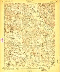
1918 Map of Doswell
USGS Topo · Published 1918About this map
Hanover Courthouse and the surrounding river-carved landscape of central Virginia are documented here at the conclusion of World War I. The terrain is defined by the convergence of the North Anna River and the South Anna River, which join to form the winding Pamunkey River. This area was a critical transport corridor, with the Richmond Fredericksburg and Potomac RR and the Chesapeake and Ohio RR intersecting near Doswell.
Find a feature on this map
111 named features on this map. Tap any name to fly to it.
Don’t see what you’re looking for? This feature index may not catch every label — zoom into the map to look around manually.
Map Details
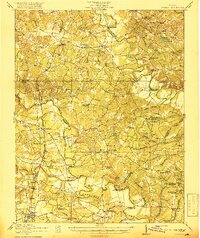
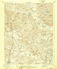
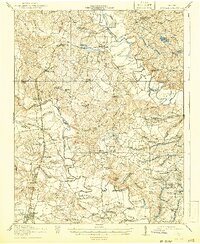
Editions of this 1918 Doswell Map
4 editions found
Other maps of this area

1887 · Spottsylvania
USGS Topo · 1:125,000

1889 · Fredericksburg
USGS Topo · 1:125,000

1890 · Goochland
USGS Topo · 1:125,000

1892 · Fredericksburg
USGS Topo · 1:125,000

1892 · Spottsylvania
USGS Topo · 1:125,000

1892 · Goochland
USGS Topo · 1:125,000

1894 · Fredericksburg
USGS Topo · 1:125,000
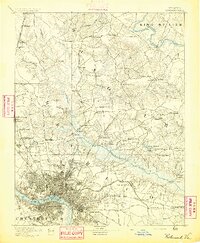
1894 · Richmond
USGS Topo · 1:62,500
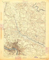
1895 · Richmond
USGS Topo · 1:62,500
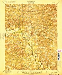
1918 · Aylett
USGS Topo · 1:62,500