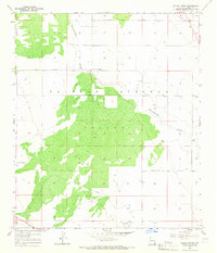
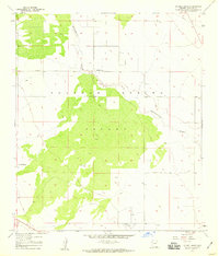
1958 Map of Double Adobe
USGS Topo · Published 1965About this map
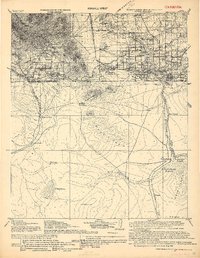
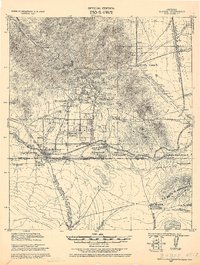
Sulphur Springs Valley dominates this high-desert landscape in Cochise County, where the topography is defined by the ephemeral path of Whitewater Draw. The map documents a period of mid-century ranching and infrastructure development, centered on the settlement of Double Adobe. The presence of the Forrest Airport in the south and a significant Pipeline corridor in the northeast corner illustrates the region's role in transportation and energy transit during the late 1950s. Regional connectivity is further evidenced by the Elfrida Cutoff, which provides a straight-line traversal across the basin floor. Local landmarks like the Lazy KJ Ranch offer specific points of interest for genealogists and researchers tracking family-owned properties and land use patterns in this part of southern Arizona before modern expansion.
Find a feature on this map
11 named features on this map. Tap any name to fly to it.
Don’t see what you’re looking for? This feature index may not catch every label — zoom into the map to look around manually.
Map Details
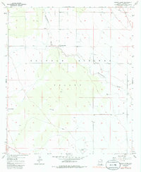
Editions of this 1958 Double Adobe Map
3 editions found
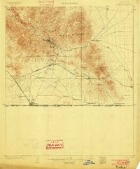
Other maps of this area
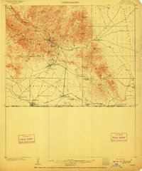
1902 · Bisbee
USGS Topo · 1:62,500
1910 · Bisbee
USGS Topo · 1:62,500
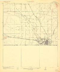
1914 · Douglas
USGS Topo · 1:62,500
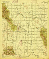
1916 · Pearce
USGS Topo · 1:125,000
1916 · Douglas
USGS Topo · 1:125,000
1919 · Douglas
USGS Topo · 1:125,000
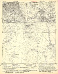
1922 · Swisshelm
USGS Topo · 1:62,500
1925 · Douglas
USGS Topo · 1:62,500
1925 · Gleeson
USGS Topo · 1:62,500
1927 · Bisbee
USGS Topo · 1:62,500