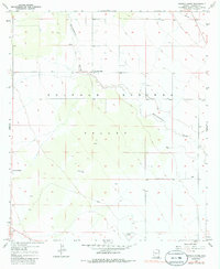
1958 Map of Double Adobe
USGS Topo · Published 1986About this map
Sulphur Springs Valley defines the character of this landscape in the late 1950s, showing a transition between ranching lands and early aviation infrastructure. The map centers on the small settlement of Double Adobe, situated near the intersection of the Elfrida Cutoff. The drainage of Whitewater Draw meanders through the terrain, a critical water source for the surrounding cattle country. This survey, based on 1956 photography, documents the rural development of Cochise County before significant modernization, including the Forrest Airport in the south and private holdings like the Lazy KJ Ranch. The grid of sections and township lines reveals the organized land distribution of this arid basin, where the proximity to the border and local drainage patterns dictated the placement of every homestead and airstrip.
Find a feature on this map
8 named features on this map. Tap any name to fly to it.
Don’t see what you’re looking for? This feature index may not catch every label — zoom into the map to look around manually.
Map Details
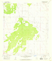
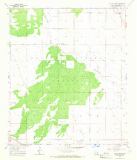
Editions of this 1958 Double Adobe Map
3 editions found
Other maps of this area

1902 · Bisbee
USGS Topo · 1:62,500

1910 · Bisbee
USGS Topo · 1:62,500

1914 · Douglas
USGS Topo · 1:62,500

1916 · Pearce
USGS Topo · 1:125,000

1916 · Douglas
USGS Topo · 1:125,000

1919 · Douglas
USGS Topo · 1:125,000

1922 · Swisshelm
USGS Topo · 1:62,500

1925 · Douglas
USGS Topo · 1:62,500

1925 · Gleeson
USGS Topo · 1:62,500

1927 · Bisbee
USGS Topo · 1:62,500