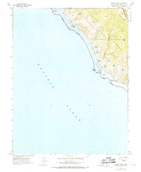
1954 Map of Double Point
USGS Topo · Published 1969About this map
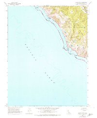
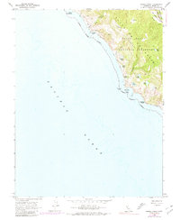
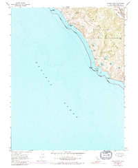
The San Andreas Rift Zone carves through the eastern edge of this coastal landscape, creating a distinct geological trough where Olema Creek flows toward the north. This segment of the Marin coastline, mapped just as the Point Reyes National Seashore was being established, showcases a unique series of freshwater lakes perched just above the Pacific Ocean. Bodies of water like Pelican Lake, Bass Lake, and Wildcat Lake dot the bluffs, leading toward the dramatic drop of Alamere Falls at the shore.
Find a feature on this map
27 named features on this map. Tap any name to fly to it.
Don’t see what you’re looking for? This feature index may not catch every label — zoom into the map to look around manually.
Map Details
Editions of this 1954 Double Point Map
7 editions found
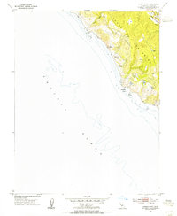
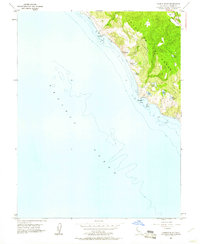
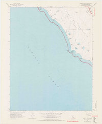
Other maps of this area

1897 · Tamalpais
USGS Topo · 1:62,500

1914 · Petaluma
USGS Topo · 1:62,500

1916 · Point Reyes
USGS Topo · 1:48,000

1918 · Point Reyes
USGS Topo · 1:62,500

1941 · Tamalpais
USGS Topo · 1:62,500

1942 · Petaluma
USGS Topo · 1:62,500

1947 · Santa Rosa
USGS Topo · 1:250,000

1947 · San Francisco
USGS Topo · 1:250,000

1948 · San Francisco
USGS Topo · 1:250,000

1949 · Santa Rosa
USGS Topo · 1:250,000