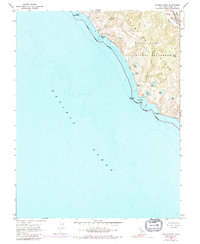
1954 Map of Double Point
USGS Topo · Published 1980About this map
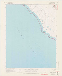
Point Reyes National Seashore dominates this coastal survey, where the Pacific shoreline meets the dramatic geological line of the San Andreas Rift Zone. The landscape is defined by a series of coastal freshwater bodies, including Wildcat Lake, Ocean Lake, and Pelican Lake, which sit perched above the surf. A notable hydrological feature is Alamere Falls, where Alamere Creek cascades directly toward the Wildcat Beach. The map also traces the Coast Trail and Highland Trail, which provided access to remote locations like Lake Ranch and Glen Campground before the mid-1970s. This survey records the transition of the Punta De Los Reyes (Sobrante) land grant into a protected national preserve, capturing the interaction between historic ranching infrastructure and the emerging park system.
Find a feature on this map
27 named features on this map. Tap any name to fly to it.
Don’t see what you’re looking for? This feature index may not catch every label — zoom into the map to look around manually.
Map Details
Editions of this 1954 Double Point Map
7 editions found
Other maps of this area

1897 · Tamalpais
USGS Topo · 1:62,500

1914 · Petaluma
USGS Topo · 1:62,500

1916 · Point Reyes
USGS Topo · 1:48,000

1918 · Point Reyes
USGS Topo · 1:62,500

1941 · Tamalpais
USGS Topo · 1:62,500

1942 · Petaluma
USGS Topo · 1:62,500

1947 · Santa Rosa
USGS Topo · 1:250,000

1947 · San Francisco
USGS Topo · 1:250,000

1948 · San Francisco
USGS Topo · 1:250,000

1949 · Santa Rosa
USGS Topo · 1:250,000