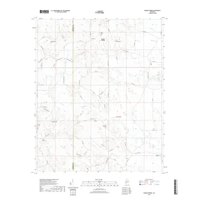
2018 Map of Double Springs
USGS Topo · Published 2018About this map
Double Springs sits at the center of this rural landscape, marking a historic point of settlement where the Choctaw Co Oktibbeha Co boundary line divides the terrain. The map is defined by its numerous small-scale cemeteries, which serve as vital markers for local genealogists tracing family roots in this corner of Mississippi. Landmarks such as the Big Creek Methodist Cem, Spring Hill Cem, and McMinn Cem are scattered across the wooded rises and creek bottoms. The hydrology is dominated by a complex network of headwaters, including the winding paths of Trim Cane Cr, Self Cr, and Cypress Cr. This 21st-century survey details a quiet, agrarian region characterized by a dense grid of named rural roads like Sherwood Rd and Love Hill Rd, providing a clear view of contemporary land divisions and the enduring placement of community burial grounds.
Find a feature on this map
75 named features on this map. Tap any name to fly to it.
Don’t see what you’re looking for? This feature index may not catch every label — zoom into the map to look around manually.
Map Details
Editions of this 2018 Double Springs Map
This is the sole edition of this map. No revisions or reprints were ever made.
Other maps of this area

1953 · West Point
USGS Topo · 1:250,000

1958 · West Point
USGS Topo · 1:250,000

1959 · Pheba
USGS Topo · 1:62,500

1963 · West Point
USGS Topo · 1:250,000

1965 · Longview
USGS Topo · 1:24,000

1965 · Bradley
USGS Topo · 1:24,000

1972 · Maben
USGS Topo · 1:24,000

1972 · Sapa
USGS Topo · 1:24,000

1972 · Double Springs
USGS Topo · 1:24,000

1972 · Sturgis
USGS Topo · 1:24,000