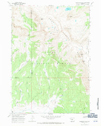
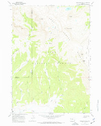
1967 Map of Doubletop Peak
USGS Topo · Published 1971About this map
The Gros Ventre Range dominates this mid-century survey of the high Wyoming backcountry, straddling the boundary between Teton and Sublette Counties. This is a landscape defined by verticality and hydrological headwaters, where the Teton National Forest meets the Bridger National Forest. The map documents a complex system of drainages, including the sources of Shoal Creek, Dell Creek, and Tosi Creek, which have carved out distinctive terrain features like Tin Can Park and Deer Ridge.
Find a feature on this map
29 named features on this map. Tap any name to fly to it.
Don’t see what you’re looking for? This feature index may not catch every label — zoom into the map to look around manually.
Map Details
Editions of this 1967 Doubletop Peak Map
2 editions found
Other maps of this area

1907 · Gros Ventre
USGS Topo · 1:125,000

1910 · Gros Ventre
USGS Topo · 1:125,000

1955 · Driggs
USGS Topo · 1:250,000

1958 · Driggs
USGS Topo · 1:250,000

1962 · Driggs
USGS Topo · 1:250,000
1966 · Pass Peak
USGS Topo · 1:24,000
1967 · Tosi Peak
USGS Topo · 1:24,000
1967 · Crystal Peak
USGS Topo · 1:24,000
1967 · Doubletop Peak
USGS Topo · 1:24,000
1967 · Bondurant
USGS Topo · 1:24,000