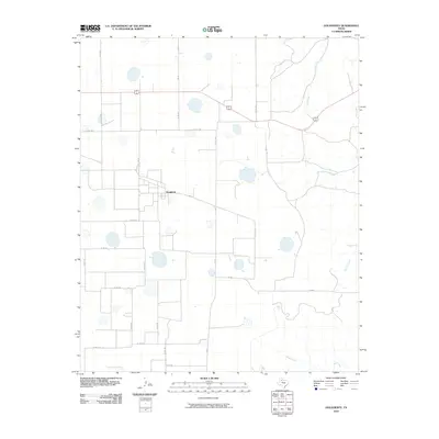
2010 Map of Dougherty
USGS Topo · Published 2010About this map
The small settlement of Dougherty serves as the central hub of this South Plains landscape in Floyd County, situated at the intersection of several farm-to-market roads. The terrain is characterized by a high-plains grid of rural roads and scattered depressions, which drain toward the breaks of the Caprock via a network of seasonal watercourses. Mott Creek and Dutchman Creek originate in the northern and eastern portions of the quadrangle, while Wolf Creek meanders across the southern boundary. The presence of Fm 28 and Fm 684 indicates the primary transit corridors connecting this agricultural community to the surrounding county. Researchers can trace the layout of various local routes such as Co Rd 303 and Co Rd 284, which define the property boundaries and land use patterns typical of the Texas Panhandle region during the early 21st century.
Find a feature on this map
24 named features on this map. Tap any name to fly to it.
Don’t see what you’re looking for? This feature index may not catch every label — zoom into the map to look around manually.
Map Details
Editions of this 2010 Dougherty Map
This is the sole edition of this map. No revisions or reprints were ever made.
Other maps of this area

1954 · Lubbock
USGS Topo · 1:250,000

1954 · Plainview
USGS Topo · 1:250,000

1958 · Plainview
USGS Topo · 1:250,000

1965 · Wake
USGS Topo · 1:24,000

1965 · Boothe
USGS Topo · 1:24,000

1966 · Lockney 4 SW
USGS Topo · 1:24,000

1966 · Mount Blanco
USGS Topo · 1:24,000

1967 · Dick Moore Canyon
USGS Topo · 1:24,000

1967 · Whiteflat
USGS Topo · 1:24,000

1968 · Mac Bain
USGS Topo · 1:24,000