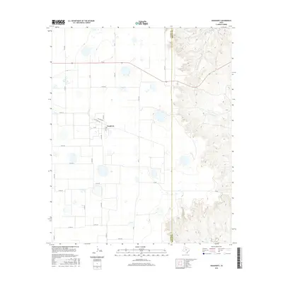
2016 Map of Dougherty
USGS Topo · Published 2016About this map
Dougherty sits at the edge of the Caprock Escarpment, where the flat agricultural plains of the Texas Panhandle drop away into the broken drainage basins of the Red River. The townsite is organized around a small grid of residential streets including Hansford Ave and Motley St, marking a concentrated point of settlement amidst a vast network of county roads. The landscape transition is starkly defined by the Floyd Co Motley Co boundary, where the western tableland gives way to the intricate, branching canyons of the east.
Find a feature on this map
32 named features on this map. Tap any name to fly to it.
Don’t see what you’re looking for? This feature index may not catch every label — zoom into the map to look around manually.
Map Details
Editions of this 2016 Dougherty Map
This is the sole edition of this map. No revisions or reprints were ever made.
Other maps of this area

1954 · Lubbock
USGS Topo · 1:250,000

1954 · Plainview
USGS Topo · 1:250,000

1958 · Plainview
USGS Topo · 1:250,000

1965 · Wake
USGS Topo · 1:24,000

1965 · Boothe
USGS Topo · 1:24,000

1966 · Lockney 4 SW
USGS Topo · 1:24,000

1966 · Mount Blanco
USGS Topo · 1:24,000

1967 · Dick Moore Canyon
USGS Topo · 1:24,000

1967 · Whiteflat
USGS Topo · 1:24,000

1968 · Mac Bain
USGS Topo · 1:24,000