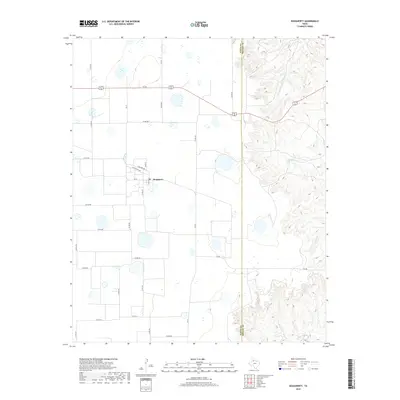
2019 Map of Dougherty
USGS Topo · Published 2019About this map
Dougherty sits at the heart of this agricultural landscape where the Llano Estacado begins its descent into the broken canyonlands of the Caprock. The town's grid is small but distinct, featuring named streets such as Hansford Ave and Motley St along the intersection of FM 28. This 2019 survey highlights a sharp transition in the Texas Panhandle geography: the western half is dominated by high plains and a network of county roads like Co Rd 303, while the eastern portion drops off into the drainage systems of Mott Creek, Dutchman Creek, and Spring Creek. The boundary between Floyd and Motley Counties serves as a dividing line between the flat plateau farmland and the erosion-carved breaks where Wolf Creek flows southeast, illustrating the topographic shift that defines this region's ranching and farming boundaries.
Find a feature on this map
31 named features on this map. Tap any name to fly to it.
Don’t see what you’re looking for? This feature index may not catch every label — zoom into the map to look around manually.
Map Details
Editions of this 2019 Dougherty Map
This is the sole edition of this map. No revisions or reprints were ever made.
Other maps of this area

1954 · Lubbock
USGS Topo · 1:250,000

1954 · Plainview
USGS Topo · 1:250,000

1958 · Plainview
USGS Topo · 1:250,000

1965 · Wake
USGS Topo · 1:24,000

1965 · Boothe
USGS Topo · 1:24,000

1966 · Lockney 4 SW
USGS Topo · 1:24,000

1966 · Mount Blanco
USGS Topo · 1:24,000

1967 · Dick Moore Canyon
USGS Topo · 1:24,000

1967 · Whiteflat
USGS Topo · 1:24,000

1968 · Mac Bain
USGS Topo · 1:24,000