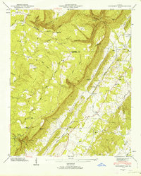
1946 Map of Dougherty Gap
USGS Topo · Published 1964About this map
Pigeon Mountain and the steep elevation of Shinbone Ridge define the landscape of northwest Georgia in the years following World War II. The terrain creates isolated pockets of settlement such as Mc Lemore Cove and Bromtown Valley, linked by historic mountain passes like Dougherty Gap and Neal Gap. Human presence is concentrated in small communities including Teloga and Cloudland, where local life centered around rural institutions like Teloga Sch and the Macedonia Ch. The Tennessee Alabama and Georgia railroad cuts through the valley floor, providing a vital transportation artery parallel to Teloga Creek. This 1946 field examination also documents several family-named landmarks and cemeteries, including Long Cem and Hemphill Cem, which offer significant value for genealogical research in Walker and Chattooga counties.
Find a feature on this map
77 named features on this map. Tap any name to fly to it.
Don’t see what you’re looking for? This feature index may not catch every label — zoom into the map to look around manually.
Map Details
Editions of this 1946 Dougherty Gap Map
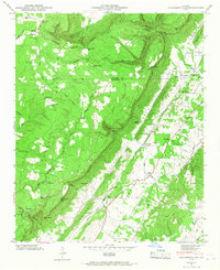
2 editions found
Other maps of this area

1886 · Ringgold
USGS Topo · 1:125,000

1886 · Rome
USGS Topo · 1:125,000

1886 · Stevenson
USGS Topo · 1:125,000

1892 · Ringgold
USGS Topo · 1:125,000

1892 · Stevenson
USGS Topo · 1:125,000

1893 · Fort Payne
USGS Topo · 1:125,000

1895 · Stevenson
USGS Topo · 1:125,000

1898 · Rome
USGS Topo · 1:125,000

1898 · Fort Payne
USGS Topo · 1:125,000

1899 · Rome
USGS Topo · 1:125,000