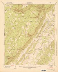
1947 Map of Dougherty Gap
USGS Topo · Published 1947About this map
Lookout Mountain and Pigeon Mountain dominate this 1947 landscape, separated by the dramatic gap for which this area is named. The terrain is defined by steep ridges and deep gulfs, such as Dougherty Gulf and Neal Gulf, which channel the flow of Gilreath Creek and other smaller branches. This post-war era survey highlights the sparse but established settlement patterns of the Broomtown Valley, where small communities like Teloga and Chelsea are anchored by local institutions including New Hope Ch and Teloga Sch.
Find a feature on this map
77 named features on this map. Tap any name to fly to it.
Don’t see what you’re looking for? This feature index may not catch every label — zoom into the map to look around manually.
Map Details
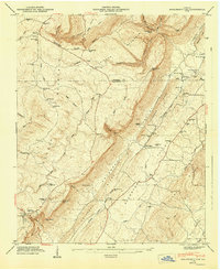
Editions of this 1947 Dougherty Gap Map
2 editions found
Other maps of this area

1886 · Ringgold
USGS Topo · 1:125,000

1886 · Rome
USGS Topo · 1:125,000

1886 · Stevenson
USGS Topo · 1:125,000

1892 · Ringgold
USGS Topo · 1:125,000

1892 · Stevenson
USGS Topo · 1:125,000

1893 · Fort Payne
USGS Topo · 1:125,000

1895 · Stevenson
USGS Topo · 1:125,000

1898 · Rome
USGS Topo · 1:125,000

1898 · Fort Payne
USGS Topo · 1:125,000

1899 · Rome
USGS Topo · 1:125,000