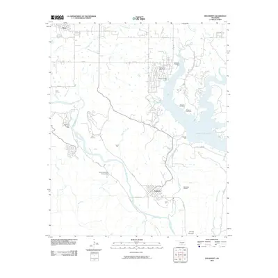
2009 Map of Dougherty
USGS Topo · Published 2009About this map
Dougherty sits at the confluence of several vital water systems and local industries in this early 21st-century landscape. The Washita River meanders through the central terrain, bordered by the legacy of local extraction at the Vines Oil Field. To the east, the massive footprint of the Lake of the Arbuckles is secured by the Arbuckle Dam, a significant engineering feature that transformed the regional hydrology.
Find a feature on this map
47 named features on this map. Tap any name to fly to it.
Don’t see what you’re looking for? This feature index may not catch every label — zoom into the map to look around manually.
Map Details
Editions of this 2009 Dougherty Map
This is the sole edition of this map. No revisions or reprints were ever made.
Other maps of this area

1898 · Pauls Valley
USGS Topo · 1:125,000

1901 · Stonewall
USGS Topo · 1:125,000

1901 · Tishomingo
USGS Topo · 1:125,000

1901 · Ardmore
USGS Topo · 1:125,000

1902 · Pauls Valley
USGS Topo · 1:125,000

1918 · Ardmore
USGS Topo · 1:125,000

1957 · Ardmore
USGS Topo · 1:250,000

1963 · Ardmore
USGS Topo · 1:250,000

1963 · Sulphur South
USGS Topo · 1:24,000

1963 · Nebo
USGS Topo · 1:24,000