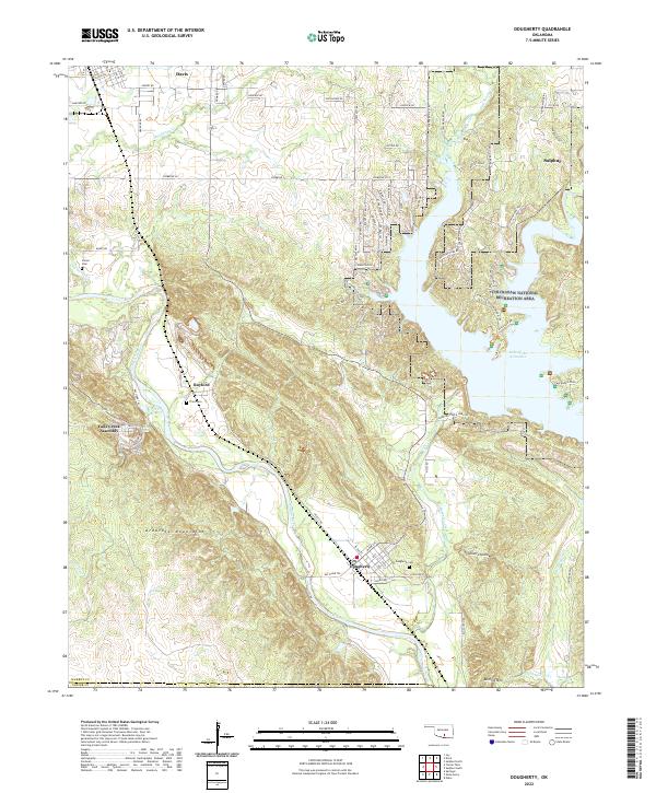
2022 Map of Dougherty
USGS Topo · Published 2022About this map
The Washita River carves a path through the southern Oklahoma landscape on this map, marking the transition between the rugged Arbuckle Mountains and the developed recreational lands to the east. The settlement of Dougherty sits at the base of the mountains along the riverbanks, served by the Dougherty Cem and a grid of streets including Chickasaw St and Main St. To the northwest, the small community of Rayford is located near Price Cem, illustrating the distributed rural settlement pattern typical of Murray County.
Find a feature on this map
85 named features on this map. Tap any name to fly to it.
Don’t see what you’re looking for? This feature index may not catch every label — zoom into the map to look around manually.
Map Details
Editions of this 2022 Dougherty Map
This is the sole edition of this map. No revisions or reprints were ever made.
Other maps of this area

1898 · Pauls Valley
USGS Topo · 1:125,000

1901 · Stonewall
USGS Topo · 1:125,000

1901 · Tishomingo
USGS Topo · 1:125,000

1901 · Ardmore
USGS Topo · 1:125,000

1902 · Pauls Valley
USGS Topo · 1:125,000

1918 · Ardmore
USGS Topo · 1:125,000

1957 · Ardmore
USGS Topo · 1:250,000

1963 · Ardmore
USGS Topo · 1:250,000

1963 · Sulphur South
USGS Topo · 1:24,000

1963 · Nebo
USGS Topo · 1:24,000