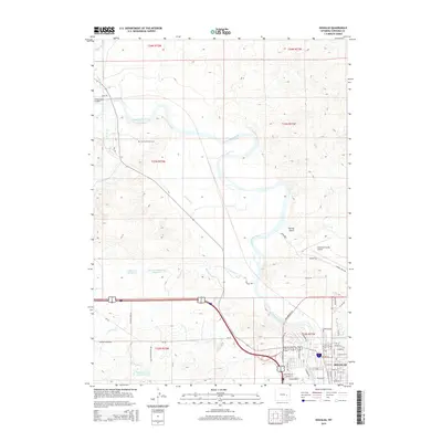
2015 Map of Douglas
USGS Topo · Published 2015About this map
The North Platte River carves a serpentine path through this Converse County landscape, anchoring the development of Douglas and the surrounding ranching country. The city’s residential grid is clearly defined, with Center St serving as a primary east-west axis near the river's bend. This 2015 record captures an intricate water-management network essential for high-plains agriculture, featuring the extensive Morton Ditch and several catchments such as Warner Reservoir and Douglas Fishing Lake Number 1.
Find a feature on this map
65 named features on this map. Tap any name to fly to it.
Don’t see what you’re looking for? This feature index may not catch every label — zoom into the map to look around manually.
Map Details
Editions of this 2015 Douglas Map
This is the sole edition of this map. No revisions or reprints were ever made.
Other maps of this area

1949 · Sundquist Ranch
USGS Topo · 1:24,000

1949 · Orpha
USGS Topo · 1:24,000

1949 · Irvine
USGS Topo · 1:24,000

1949 · Gilbert Lake
USGS Topo · 1:24,000

1949 · Douglas
USGS Topo · 1:24,000

1949 · Chalk Buttes
USGS Topo · 1:24,000

1949 · Clausen Ranch
USGS Topo · 1:24,000

1949 · Antelope Creek
USGS Topo · 1:24,000

1950 · Clausen Ranch
USGS Topo · 1:24,000

1950 · Gilbert Lake
USGS Topo · 1:24,000