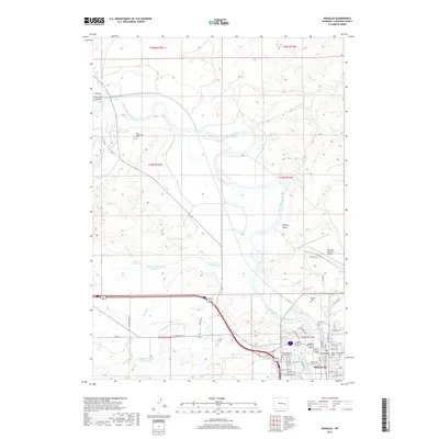
2017 Map of Douglas
USGS Topo · Published 2017About this map
The North Platte River winds prominently through this section of Converse County, providing the lifeblood for local agriculture through irrigation systems like Morton Ditch. The city of Douglas serves as the regional hub, situated on the southern banks of the river. The area's complex history is reflected in its diverse burial sites, including the Fort Fetterman Cem to the northwest, the centrally located Pioneer Cem, and the unique Camp Douglas POWs Cem, which speaks to the area's role during World War II.
Find a feature on this map
57 named features on this map. Tap any name to fly to it.
Don’t see what you’re looking for? This feature index may not catch every label — zoom into the map to look around manually.
Map Details
Editions of this 2017 Douglas Map
This is the sole edition of this map. No revisions or reprints were ever made.
Other maps of this area

1949 · Sundquist Ranch
USGS Topo · 1:24,000

1949 · Orpha
USGS Topo · 1:24,000

1949 · Irvine
USGS Topo · 1:24,000

1949 · Gilbert Lake
USGS Topo · 1:24,000

1949 · Douglas
USGS Topo · 1:24,000

1949 · Chalk Buttes
USGS Topo · 1:24,000

1949 · Clausen Ranch
USGS Topo · 1:24,000

1949 · Antelope Creek
USGS Topo · 1:24,000

1950 · Clausen Ranch
USGS Topo · 1:24,000

1950 · Gilbert Lake
USGS Topo · 1:24,000