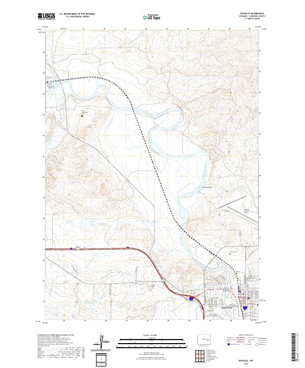
2021 Map of Douglas
USGS Topo · Published 2021About this map
The North Platte River winds through this landscape, anchoring the city of Douglas and its surrounding agricultural and ranching hinterlands. This modern topographical perspective documents a geography shaped by water management and aviation, featuring the Morton Ditch, Warner Reservoir, and the Douglas Fishing Lake Number 1. These irrigation and recreation sites sit alongside private holdings like the Sunquist Ranch and Clausen Ranch, illustrating the ongoing relationship between the river valley and the arid high plains.
Find a feature on this map
63 named features on this map. Tap any name to fly to it.
Don’t see what you’re looking for? This feature index may not catch every label — zoom into the map to look around manually.
Map Details
Editions of this 2021 Douglas Map
This is the sole edition of this map. No revisions or reprints were ever made.
Other maps of this area

1949 · Sundquist Ranch
USGS Topo · 1:24,000

1949 · Orpha
USGS Topo · 1:24,000

1949 · Irvine
USGS Topo · 1:24,000

1949 · Gilbert Lake
USGS Topo · 1:24,000

1949 · Douglas
USGS Topo · 1:24,000

1949 · Chalk Buttes
USGS Topo · 1:24,000

1949 · Clausen Ranch
USGS Topo · 1:24,000

1949 · Antelope Creek
USGS Topo · 1:24,000

1950 · Clausen Ranch
USGS Topo · 1:24,000

1950 · Gilbert Lake
USGS Topo · 1:24,000