Loading...
Loading map...1949 Map of Douglas
USGS Topo · Published 1983About this map
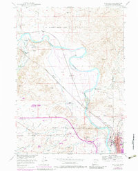
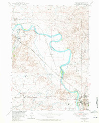
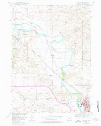
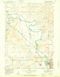
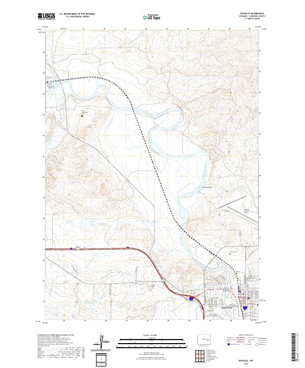
The North Platte River serves as the central artery for this Wyoming landscape, where historic transportation corridors and ranching interests converge. The presence of both a Bozeman Trail Marker and an Oregon Trail Marker underscores the area's significance as a nineteenth-century crossroads. The military and pioneer history is anchored by the Site of Old Fort Fetterman and its accompanying Fort Fetterman Cemetery, while the colorful local past is hinted at by the Site of Hog Ranch located just north of the reservation boundary.
Find a feature on this map
29 named features on this map. Tap any name to fly to it.
Don’t see what you’re looking for? This feature index may not catch every label — zoom into the map to look around manually.
Map Details
Date Portrayed1949
Date Published1983
PublisherU.S. Geological Survey
Map TypeTopographic
Scale1:24,000
Physical Dimensions21.7 x 26.8 inches
Editions of this 1949 Douglas Map
3 editions found
Historical Maps of Douglas Through Time
4 maps found

Featured Locations
Source Details
SourceU.S. Geological Survey
CopyrightPublic Domain