1981 Map of Douglas
USGS Topo · Published 1981About this map
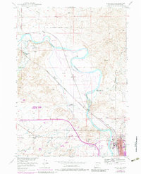
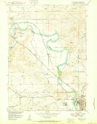
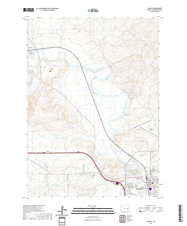
The North Platte River serves as the central artery for this 1981 survey of the Converse County plains, where the Chicago and North Western and Burlington Northern railroads trace the river's path through industrial and ranching landscapes. The map documents a period of significant energy development, evidenced by the expansive Big Muddy Oil Field near Parkerton and a large Strip Mine south of the river. These industrial features sit in contrast to the high ridges of the Laramie Mountains and the protected lands of the Medicine Bow National Forest.
Find a feature on this map
51 named features on this map. Tap any name to fly to it.
Don’t see what you’re looking for? This feature index may not catch every label — zoom into the map to look around manually.
Map Details
Editions of this 1981 Douglas Map
This is the sole edition of this map. No revisions or reprints were ever made.
Historical Maps of Douglas Through Time
4 maps found