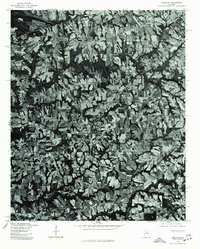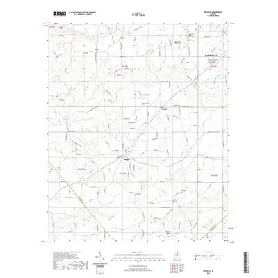
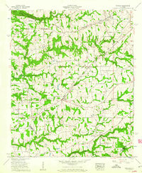
1958 Map of Douglas
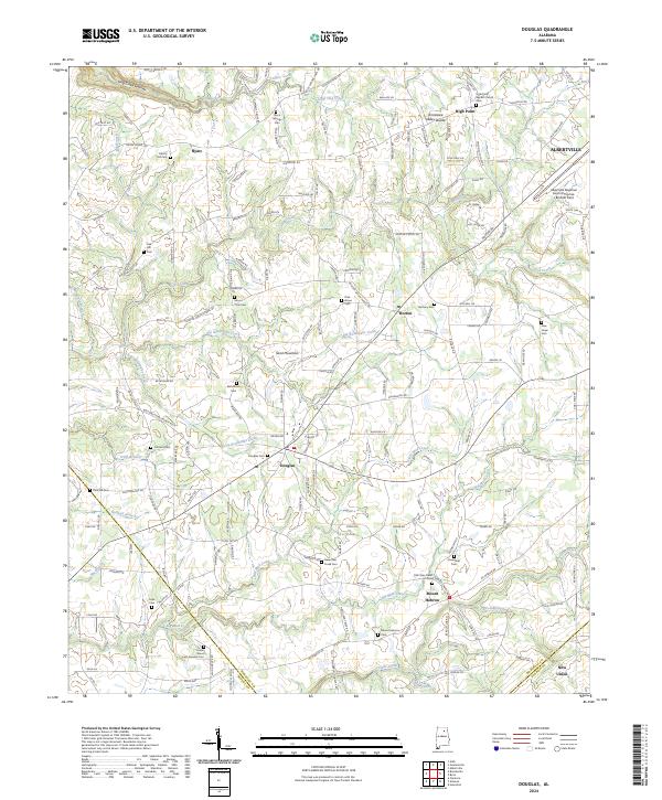
USGS Topo · Published 1985About this map
The Tennessee Valley landscape of Marshall County unfolds across this survey, centered on the growing town of Douglas and the surrounding rural communities. The map documents a dense network of country churches that served as the social anchors for this agricultural region, including Liberty Hill Ch, Rock Springs Church, and the Welcome Home Ch. To the northeast, the city of Albertville is represented at its suburban fringe, featuring the Municipal Airport and a prominent TV tower. The topography is defined by the Hyatt Valley and a series of watercourses like Slab Creek and Mud Creek that drain the undulating terrain. A distinct historical line is marked by the Cherokee Boundary, which cuts across the northern reaches of the sheet near High Point, while several county lines, including the Marshall Co Blount Co border, highlight the administrative divisions of the era.
Find a feature on this map
48 named features on this map. Tap any name to fly to it.
Don’t see what you’re looking for? This feature index may not catch every label — zoom into the map to look around manually.
Map Details
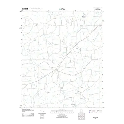
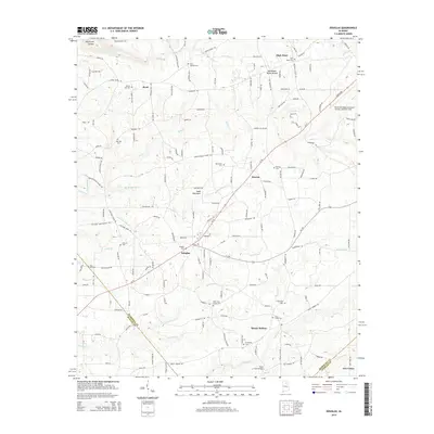
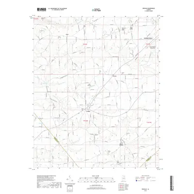
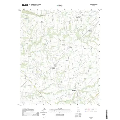
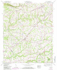
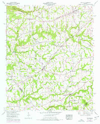
Editions of this 1958 Douglas Map
3 editions found
Historical Maps of Albertville Through Time
8 maps found