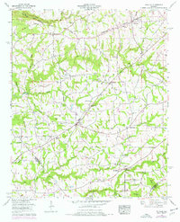
1958 Map of Douglas
USGS Topo · Published 1976About this map
Sand Mountain dominates this portion of the Tennessee Valley, where the 1958 landscape reveals a dense network of rural churches and family-centered landmarks. The community of Douglas serves as a central hub, surrounded by agricultural tracts and small settlements like Horton and Hyatt. The terrain is marked by significant historical boundaries, including the Cherokee Boundary cutting across the northern reaches and the tri-county juncture of Marshall, Blount, and Etowah counties. Waterways like Slab Creek and Reedbrake Creek carve through the plateau, while the Old Tennessee Valley Road provides a glimpse into the region's early transportation corridors. For those researching local heritage, the map is remarkably detailed with local institutions, from Highview Sch and New Hope Sch to numerous houses of worship such as Rock Springs Church and Wesley Chapel.
Find a feature on this map
40 named features on this map. Tap any name to fly to it.
Don’t see what you’re looking for? This feature index may not catch every label — zoom into the map to look around manually.
Map Details
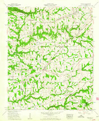
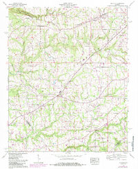
Editions of this 1958 Douglas Map
3 editions found
Other maps of this area

1885 · Gadsden
USGS Topo · 1:125,000

1888 · Gadsden
USGS Topo · 1:125,000

1892 · Gadsden
USGS Topo · 1:125,000

1895 · Gadsden
USGS Topo · 1:125,000

1903 · Gadsden
USGS Topo · 1:125,000

1936 · Guntersville
USGS Topo · 1:24,000

1936 · Mountainboro
USGS Topo · 1:24,000

1936 · Arab
USGS Topo · 1:24,000
1936 · Brooksville
USGS Topo · 1:24,000

1936 · High Point
USGS Topo · 1:24,000