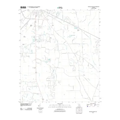
2011 Map of Douglas South
USGS Topo · Published 2011About this map
The Satilla River flows through this South Georgia landscape, winding south through Coffee County just below the regional hub of Douglas. The area is characterized by a dense network of family-named roads and burial grounds, such as the Ashley Yoemans Cemetery, Morman Cemetery, and Tison Cemetery. These features provide a clear record of local family lineages and long-standing rural settlements in the coastal plain. In the eastern portion, the Seventeen Mile River and Twentynine Mile Creek create a complex system of tributaries and wetlands.
Find a feature on this map
78 named features on this map. Tap any name to fly to it.
Don’t see what you’re looking for? This feature index may not catch every label — zoom into the map to look around manually.
Map Details
Editions of this 2011 Douglas South Map
This is the sole edition of this map. No revisions or reprints were ever made.
Other maps of this area

1953 · Waycross
USGS Topo · 1:250,000

1958 · Waycross
USGS Topo · 1:250,000

1971 · Douglas North
USGS Topo · 1:24,000

1971 · Douglas South
USGS Topo · 1:24,000

1971 · Nicholls
USGS Topo · 1:24,000

1971 · Wilsonville
USGS Topo · 1:24,000

1971 · Axson
USGS Topo · 1:24,000

1971 · Pearson
USGS Topo · 1:24,000

1972 · Kirkland
USGS Topo · 1:24,000

1972 · Mora
USGS Topo · 1:24,000