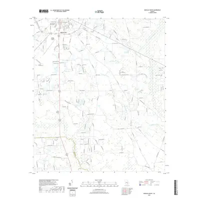
2020 Map of Douglas South
USGS Topo · Published 2020About this map
South Georgia State College and the southern neighborhoods of Douglas anchor this 2020 map of Coffee County, where suburban expansion meets the distinct hydrology of south Georgia. The landscape is defined by a dense network of water bodies, including Haskin Lake, Johnson Lake, and the meandering Satilla River. These waterways, alongside Seventeen Mile River and Twentynine Mile Cr, create a mosaic of wetlands that historically shaped the region's development and land use patterns.
Find a feature on this map
153 named features on this map. Tap any name to fly to it.
Don’t see what you’re looking for? This feature index may not catch every label — zoom into the map to look around manually.
Map Details
Editions of this 2020 Douglas South Map
This is the sole edition of this map. No revisions or reprints were ever made.
Other maps of this area

1953 · Waycross
USGS Topo · 1:250,000

1958 · Waycross
USGS Topo · 1:250,000

1971 · Douglas North
USGS Topo · 1:24,000

1971 · Douglas South
USGS Topo · 1:24,000

1971 · Nicholls
USGS Topo · 1:24,000

1971 · Wilsonville
USGS Topo · 1:24,000

1971 · Axson
USGS Topo · 1:24,000

1971 · Pearson
USGS Topo · 1:24,000

1972 · Kirkland
USGS Topo · 1:24,000

1972 · Mora
USGS Topo · 1:24,000