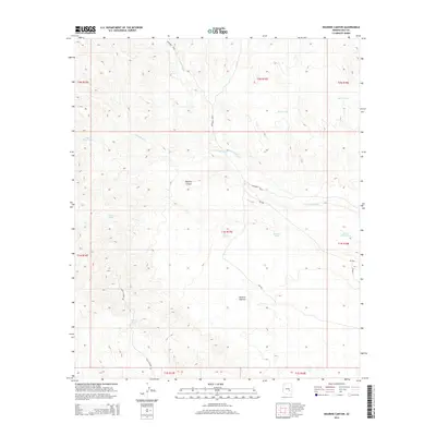
2014 Map of Dourine Canyon
USGS Topo · Published 2014About this map
Dourine Canyon and the surrounding high desert of Gila County are defined by an intricate network of drainage and water management features. Arid watercourses like Sevenmile Wash and Champion Cr cut through the terrain, while the availability of water is marked by numerous tanks and springs. Indian Spring and several strategically placed reservoirs, including Steer Tank, Metate Tank, and Quail Mesa Tank, suggest a landscape utilized for livestock and ranching. The topographic detail shows a land organized into distinct zones such as Dourine Pasture. Transportation is limited to rugged routes like Skull Center Rd and Bureau of Indian Affairs roads including Bia-900, reflecting the area's remote character and its location within a larger reservation framework.
Find a feature on this map
25 named features on this map. Tap any name to fly to it.
Don’t see what you’re looking for? This feature index may not catch every label — zoom into the map to look around manually.
Map Details
Editions of this 2014 Dourine Canyon Map
This is the sole edition of this map. No revisions or reprints were ever made.
Other maps of this area

1922 · Chrysotile
USGS Topo · 1:125,000

1954 · Mesa
USGS Topo · 1:250,000

1957 · Mesa
USGS Topo · 1:250,000

1958 · Mesa
USGS Topo · 1:250,000

1960 · Mesa
USGS Topo · 1:250,000

1964 · Mesa
USGS Topo · 1:250,000

1965 · Bucket Mtn
USGS Topo · 1:24,000

1966 · Natural Corral
USGS Topo · 1:24,000
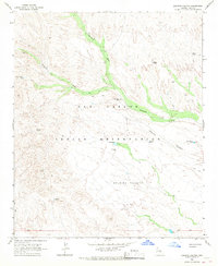
1966 · Dourine Canyon
USGS Topo · 1:24,000

1966 · Cassadore Spring
USGS Topo · 1:24,000